FACTS
| Project | Planning and construction of a red tech trail with style elements |
| Client | Organizzazione turistica Lago Maggiore e Valli |
| Location | Cardada in Ascona-Locarno, Switzerland |
| Period | June 2025 |
| Project management | Lukas Häusler, Colin Leutenegger |
| Total length | 957m |
– The trail is currently closed due to forestry work – we will keep you updated on the opening –
Brief description
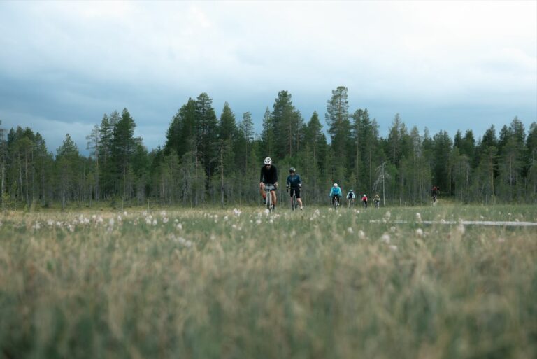
The Bassa di Cardada trail offers mountain bikers a diverse experience, combining flowing and technical sections. The trail serves as an initial separation of users between Cimetta and the SwitzerlandMobility Route 397 Cardada Bike. The goal of the project in Ascona-Locarno was to create a trail that respects the natural terrain while allowing for diverse line choices, technical challenges, and a smooth riding experience. Let's take a closer look at the trail.
- Total length: 957 m
- Elevation difference: 102 m (Start 1,610 m, End 1,508 m)
- Difficulty: Red, intermediate tech trail with style elements
- Average slope: 11 %
- Trail width: maximum 1 m
- Surface: mineral soil, stones, roots
- Access: Take the Cardada gondola lift to the middle station, then walk 900 m on asphalt to the 2-seater chairlift, board on the right towards Lago.
How do I reach the trailhead?
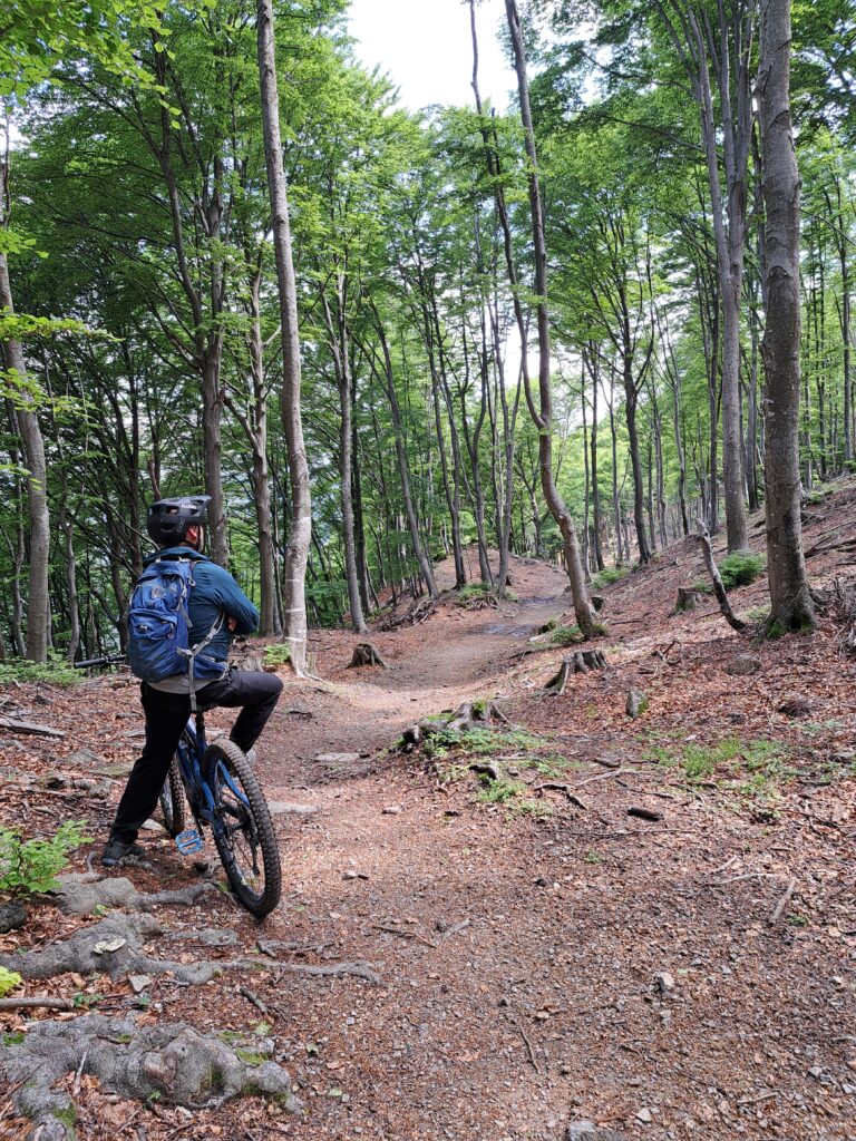
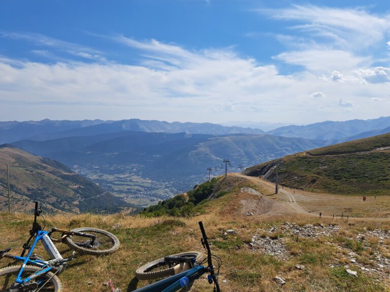
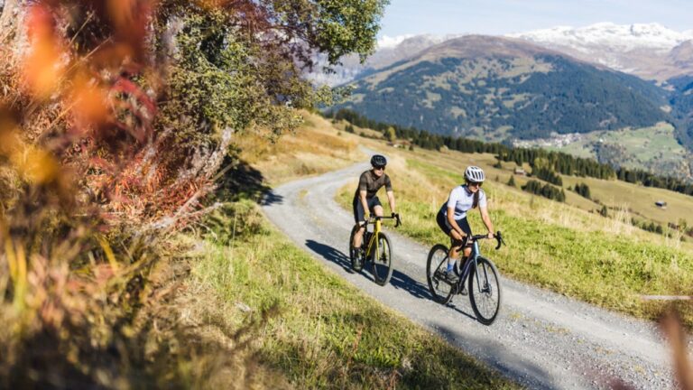
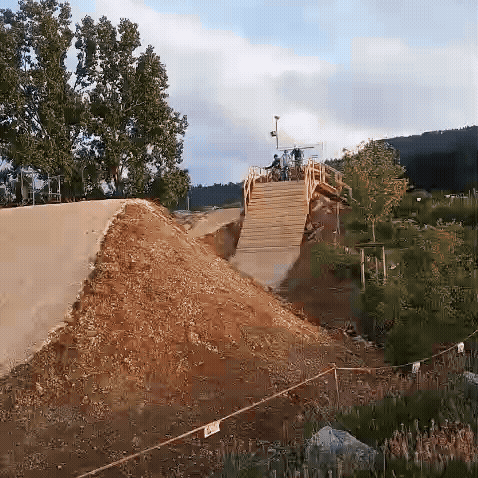
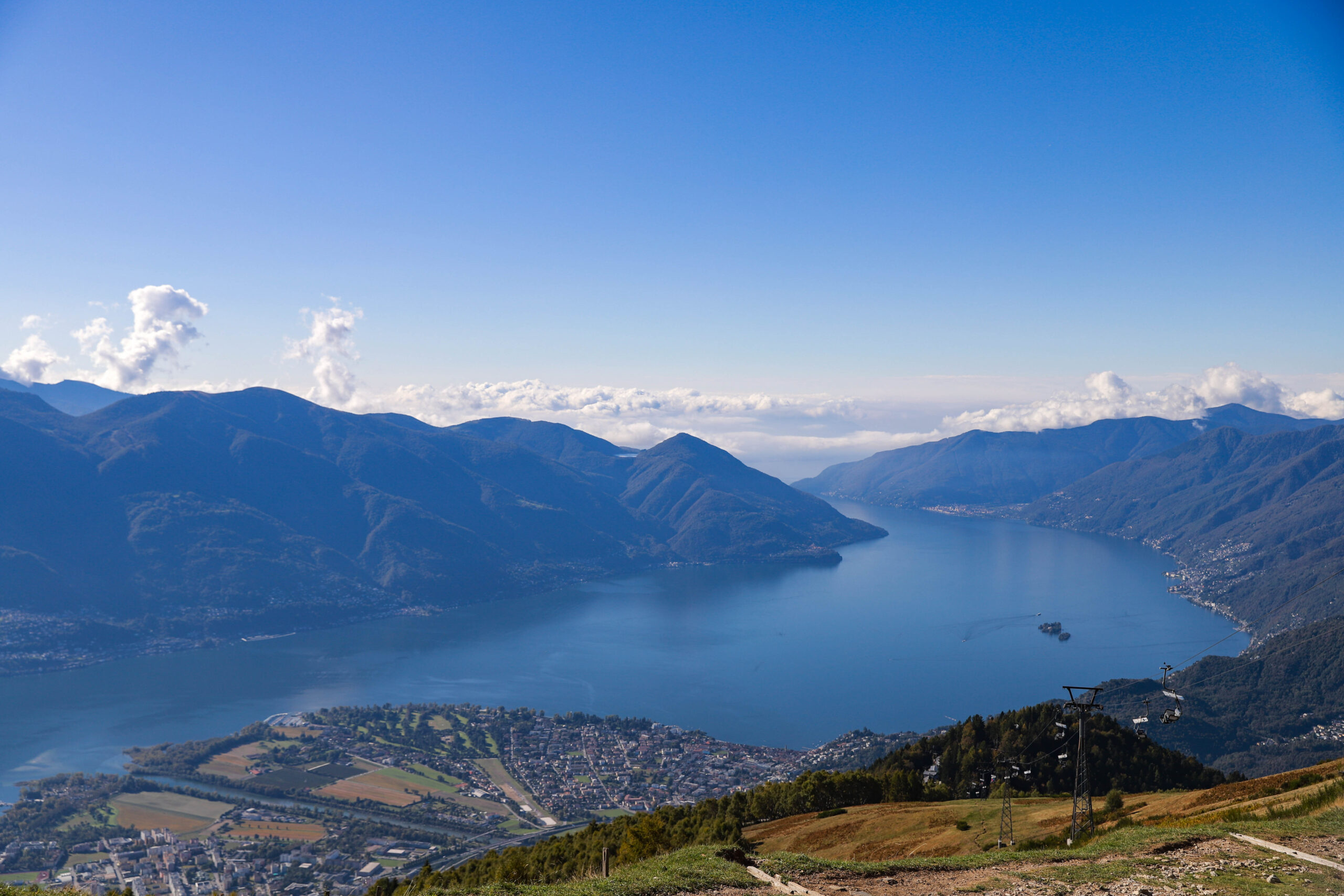
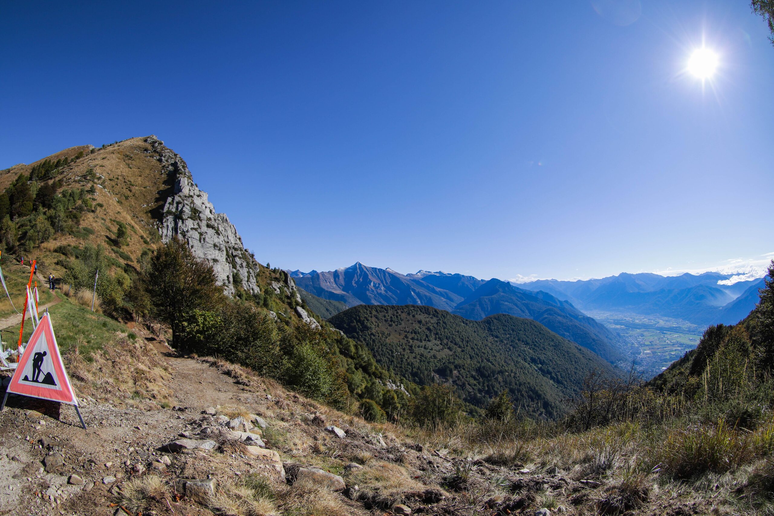
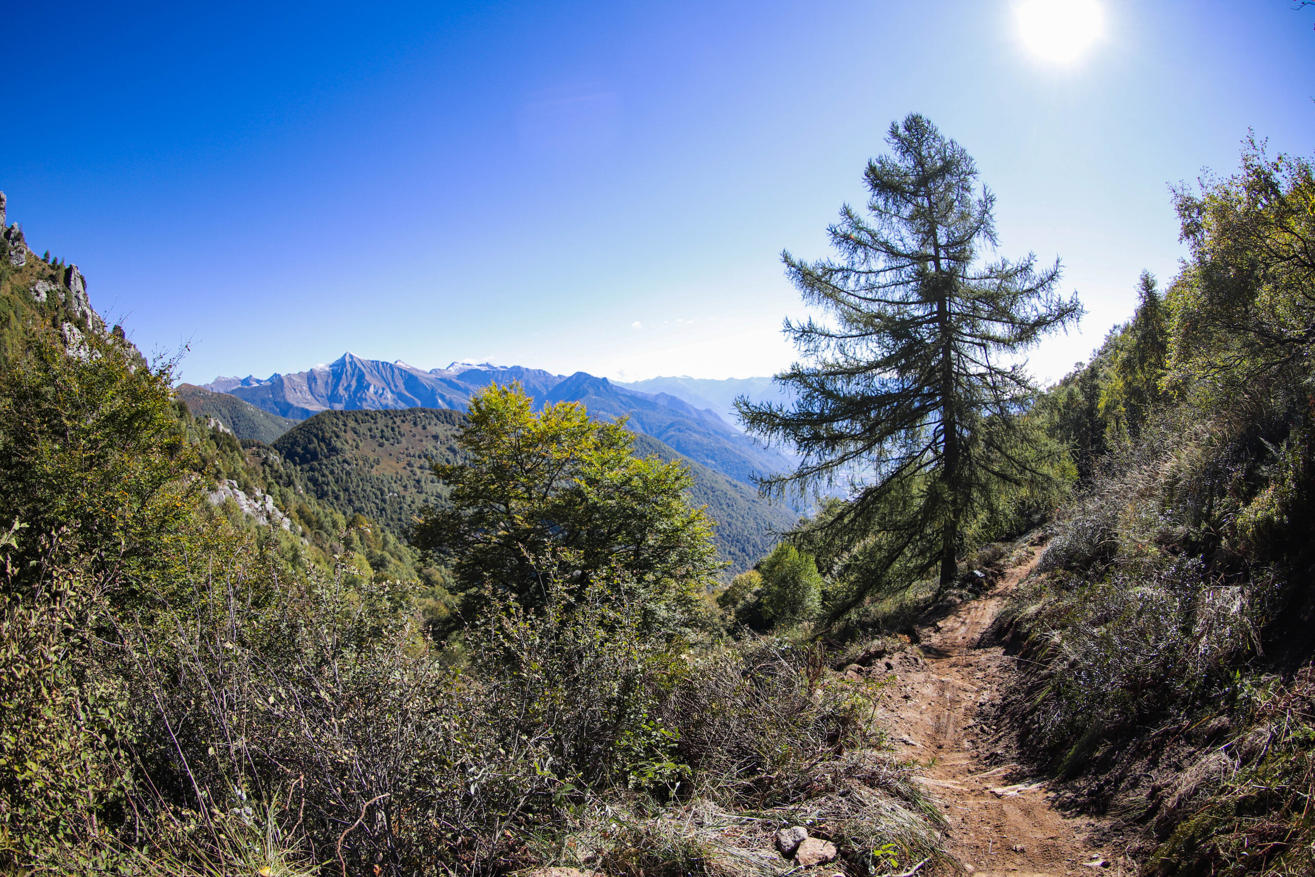
The experience begins with the ascent. The ride on the Cardada gondola and then the two-seater chairlift, with its constant views of Lake Maggiore, is already spectacular. Access to the trail is signposted from the chairlift's mountain station. After just under a kilometer of trail and over 100 meters of elevation gain, the Bassa di Cardada trail ends on the SwitzerlandMobility Route 397 Cardada Bike, connecting to the Capanna Lo Stallone mountain hut.
A look at the planning
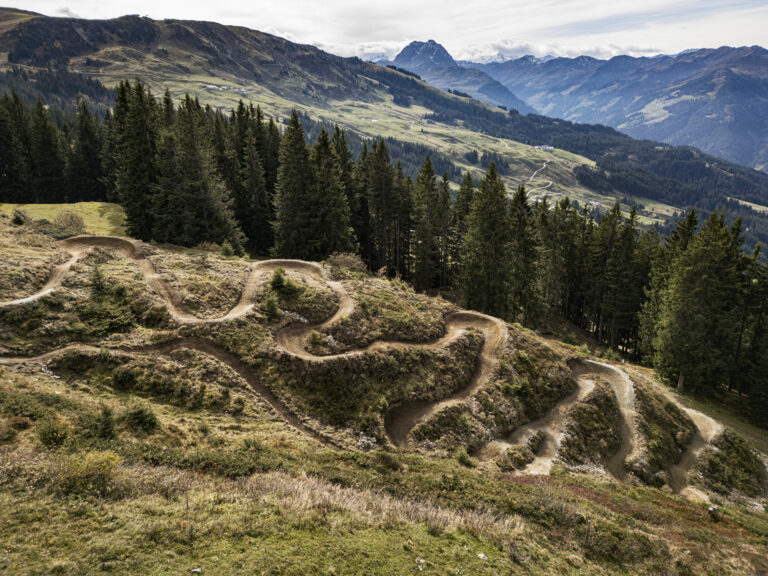
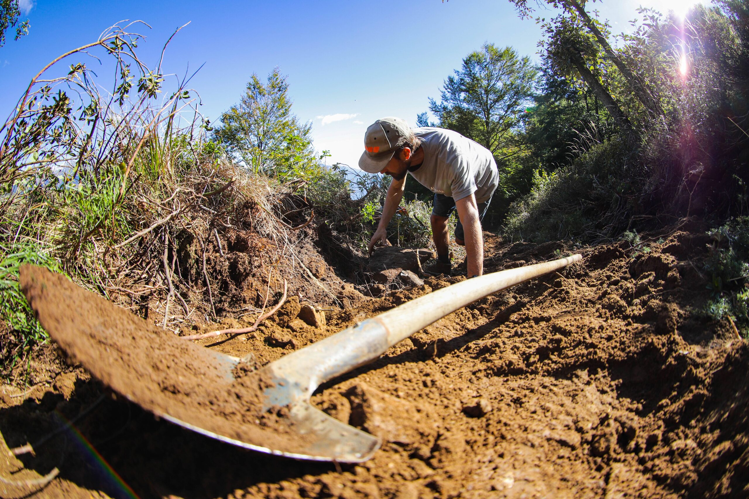
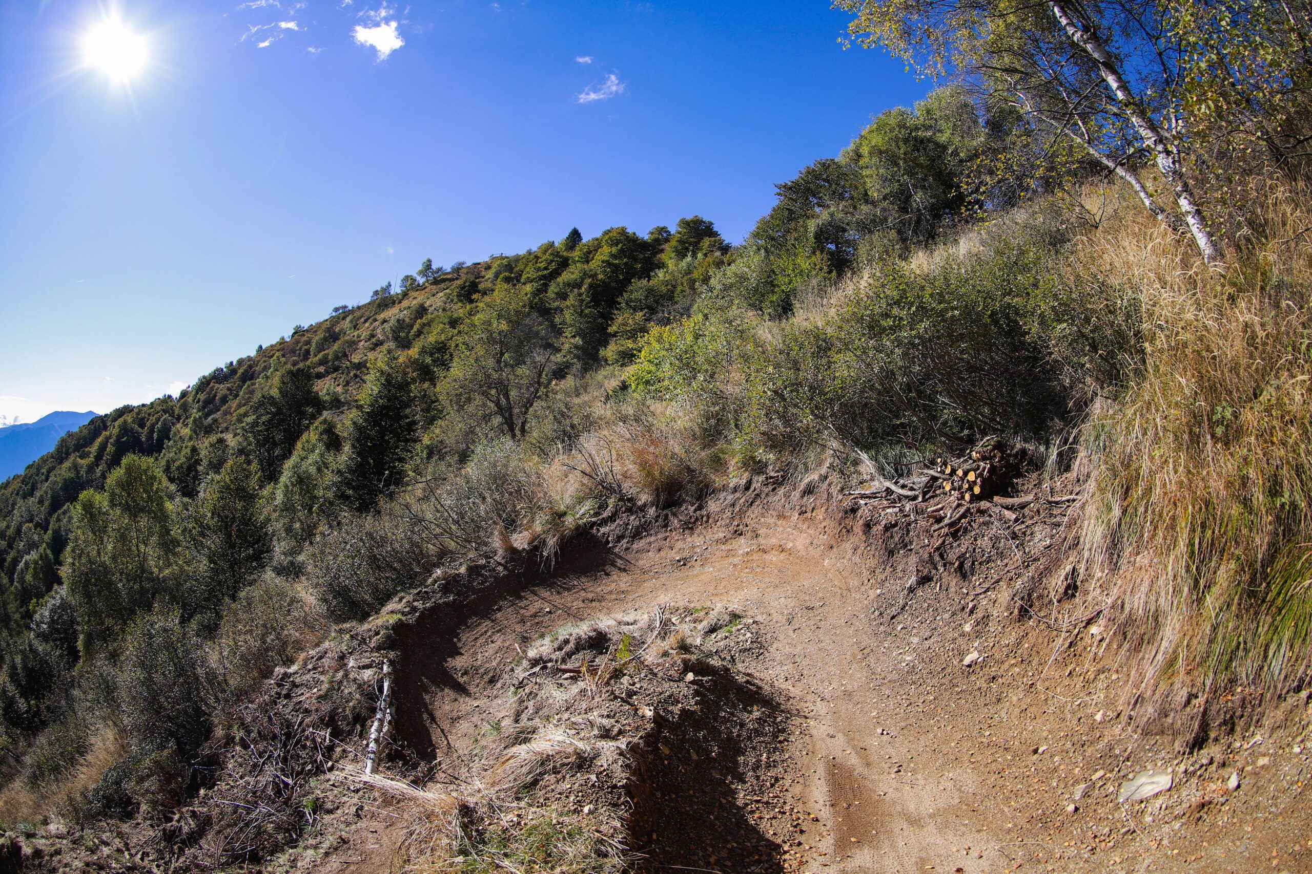
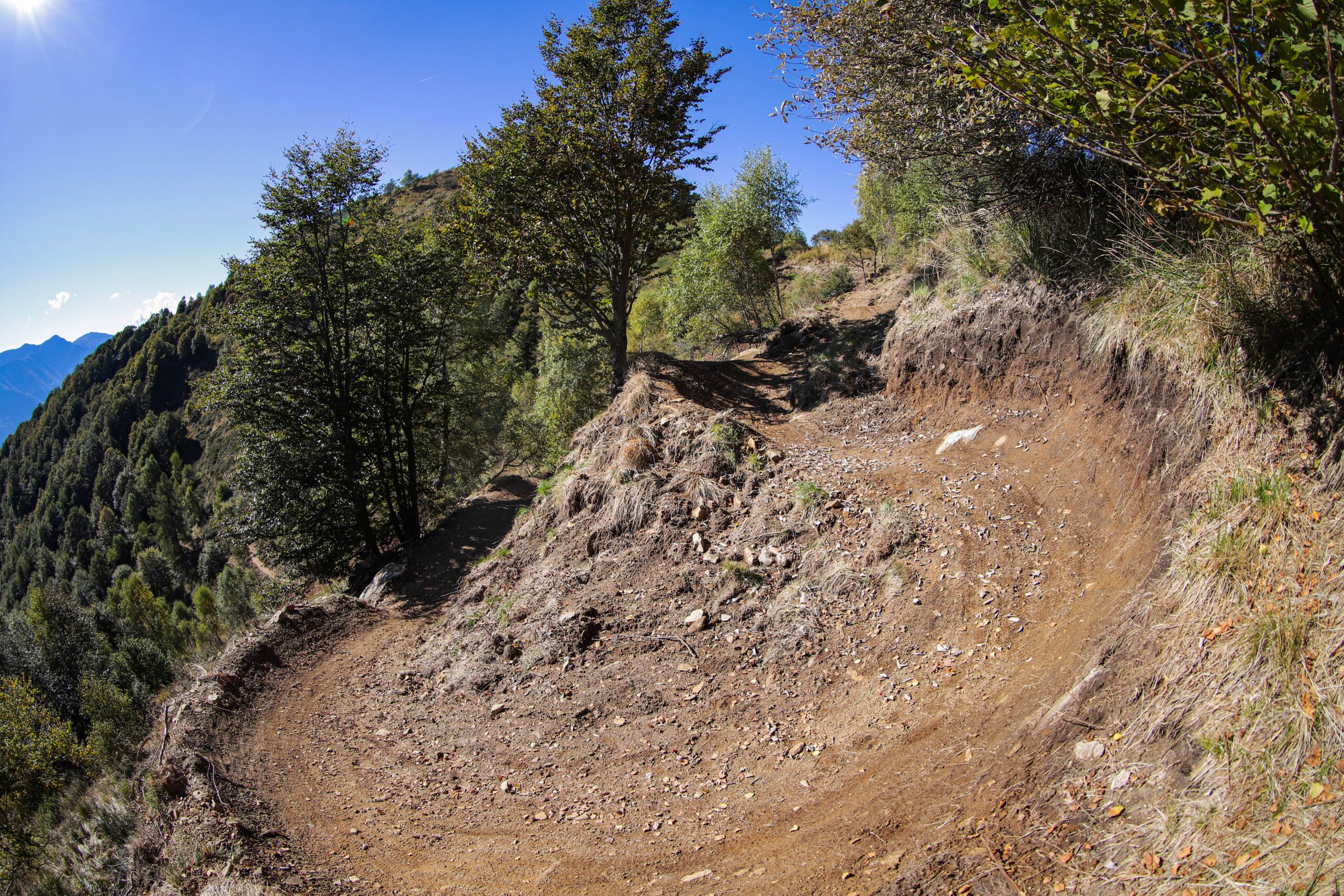
Since the terrain is generally quite steep, the flattest sections were chosen for the trail's route. In particular, the corners were positioned wherever possible on existing flat terrain. This allows for curves to be built with less construction work. The trail width of one meter also reduces embankments and overall the impact on the terrain.
Construction details
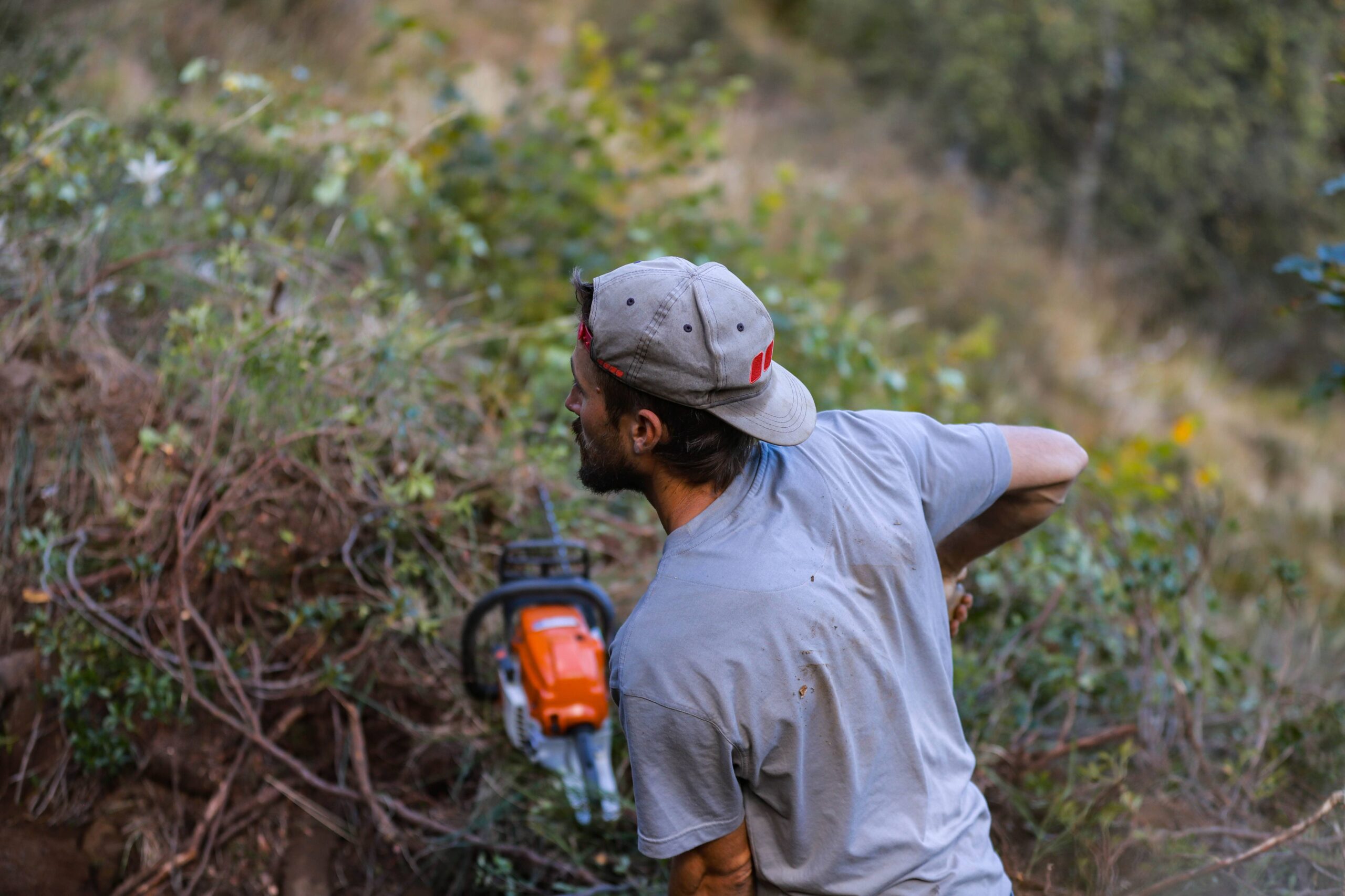
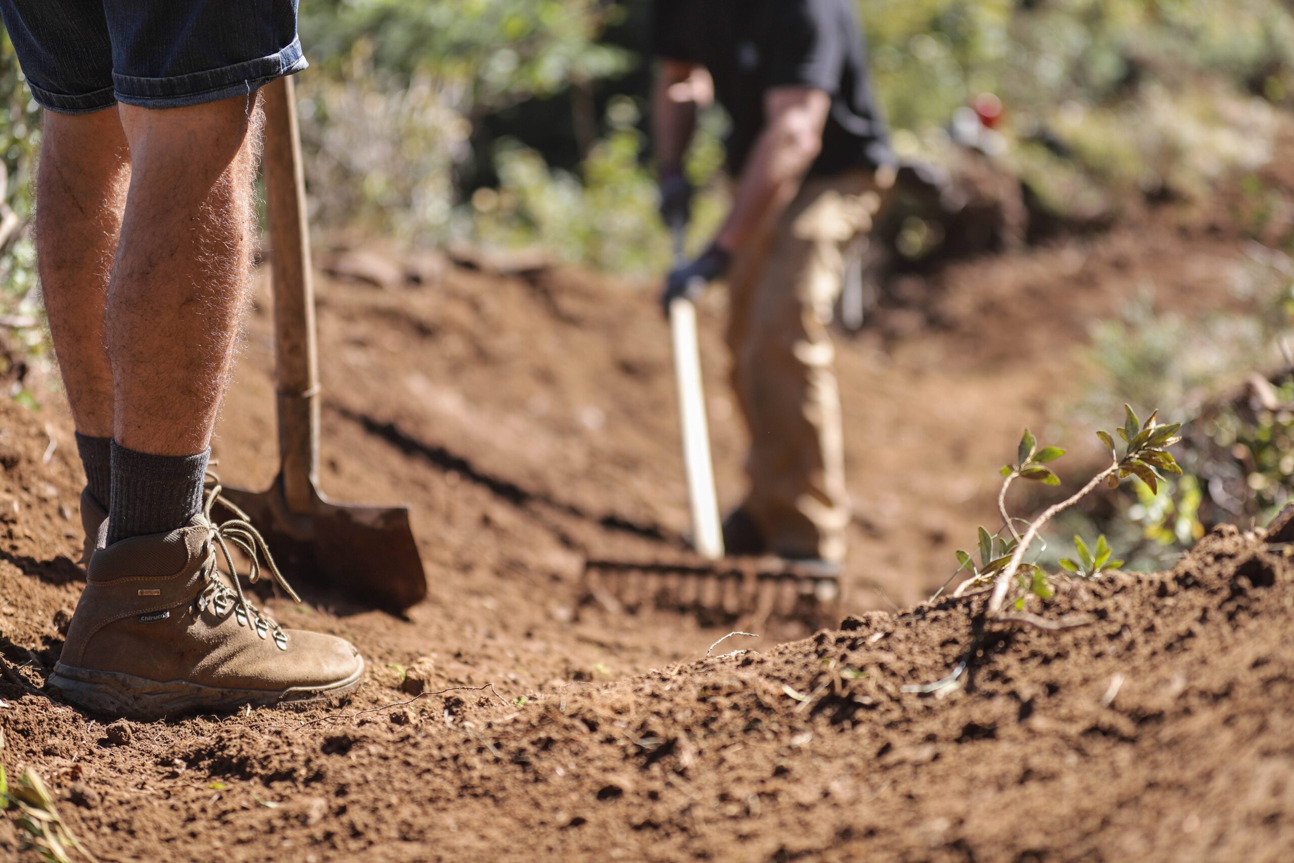
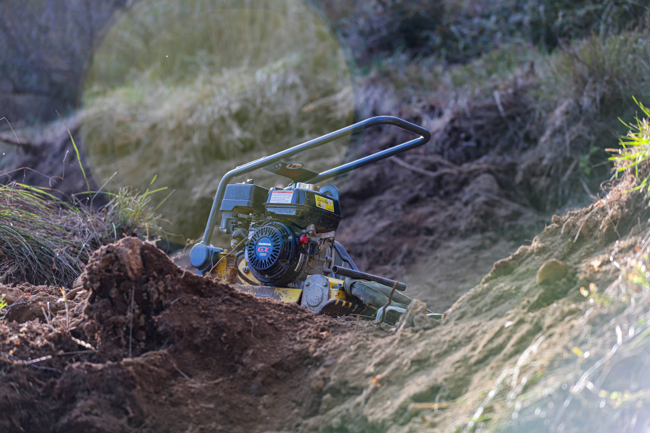
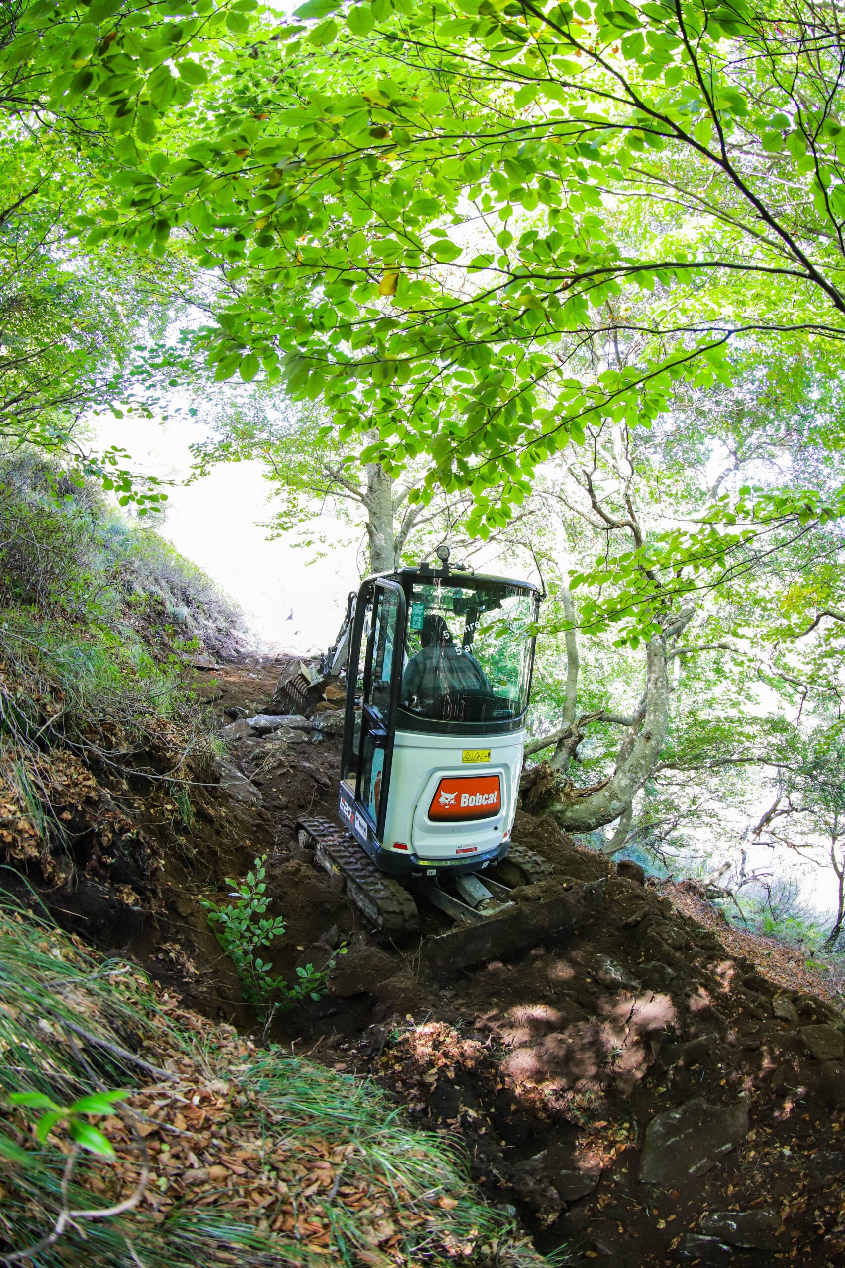
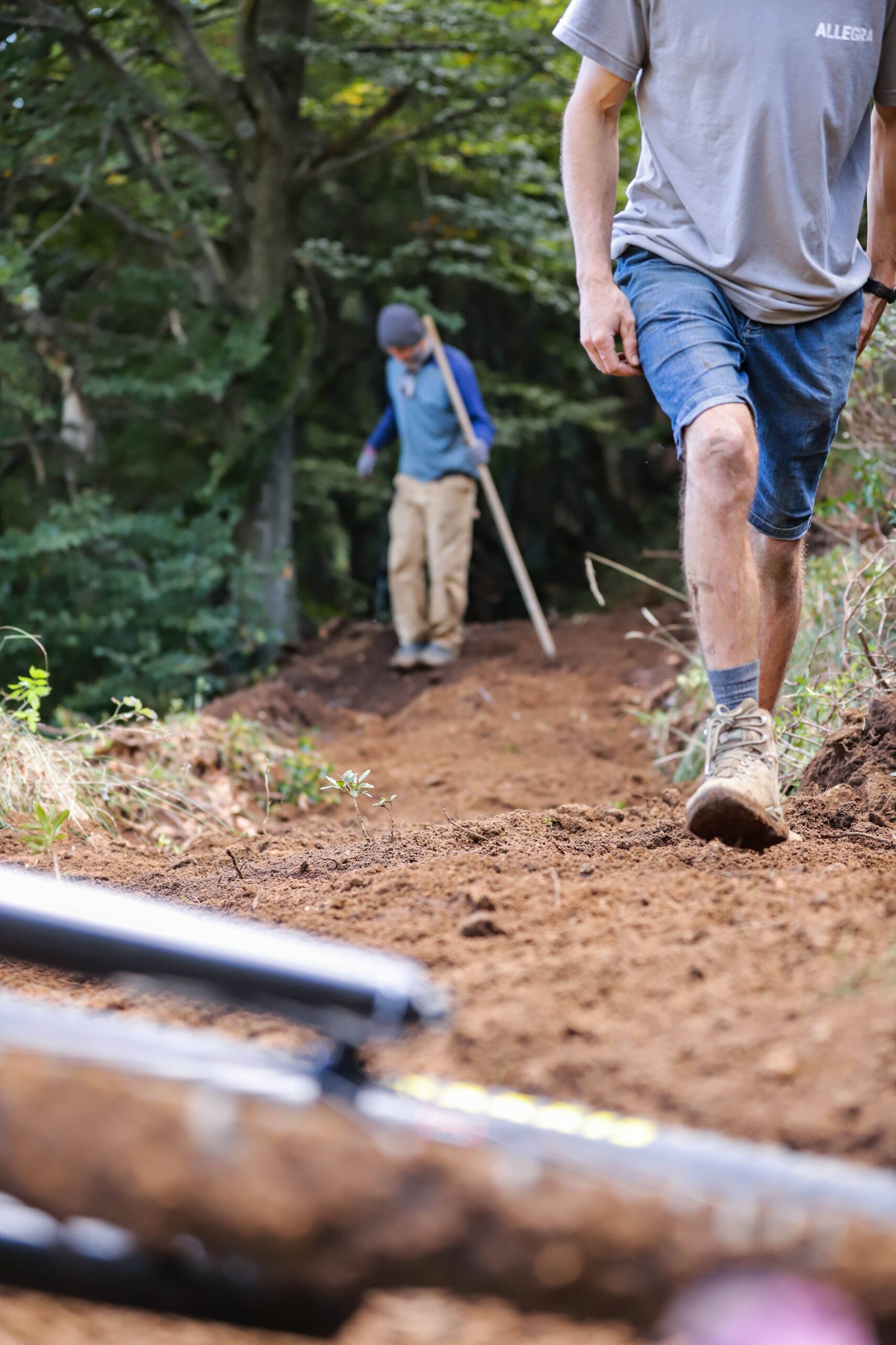
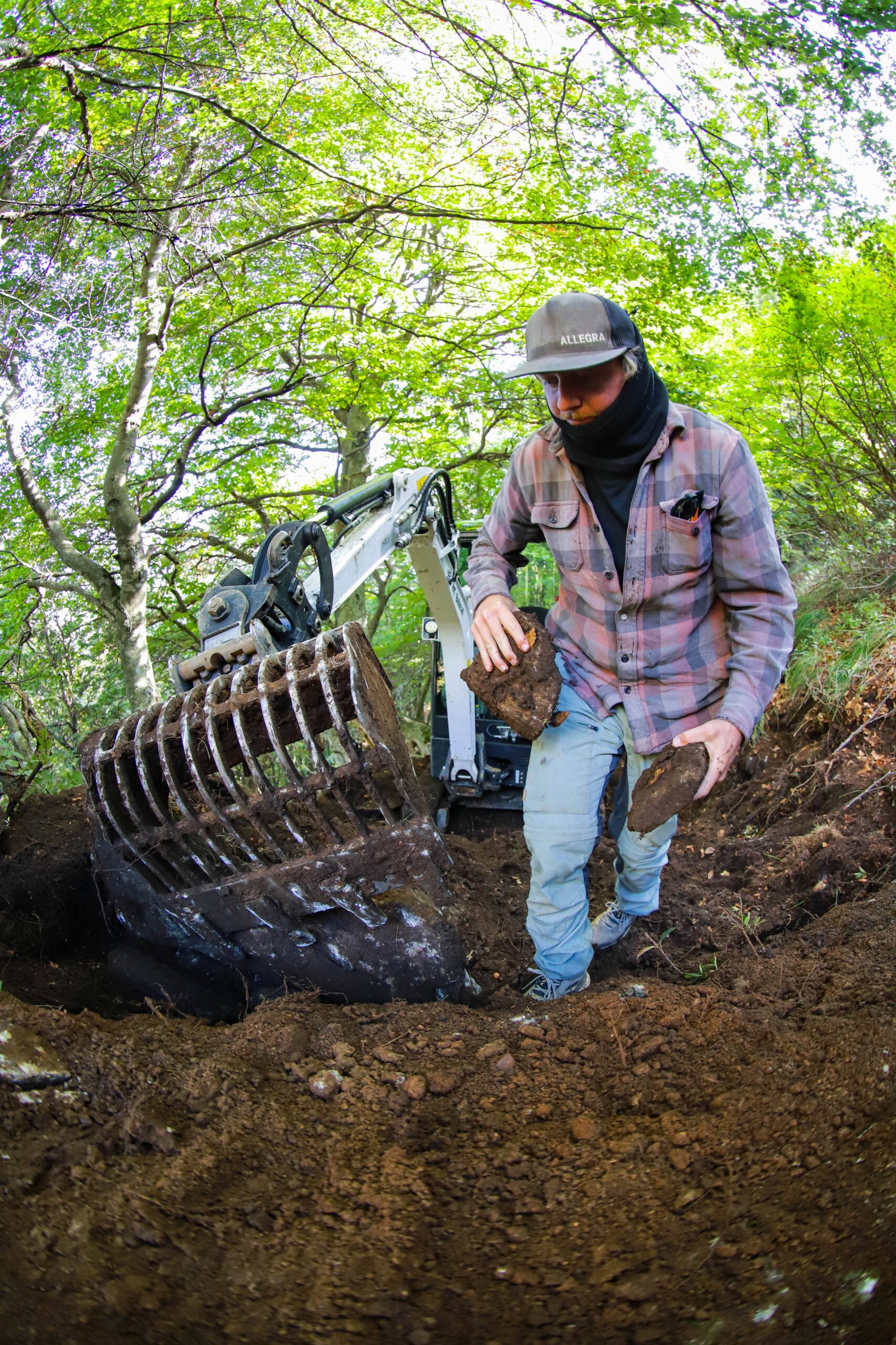
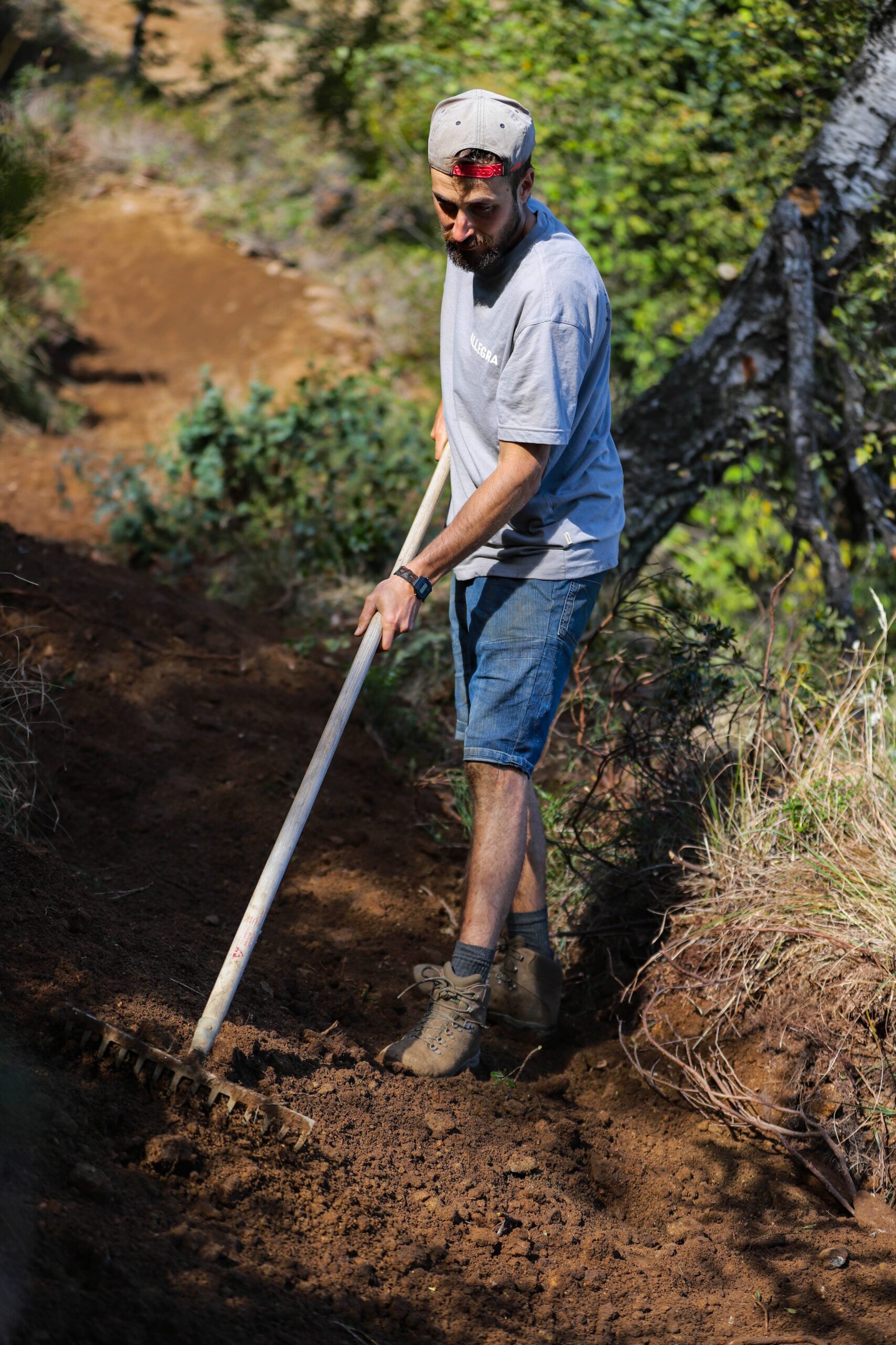
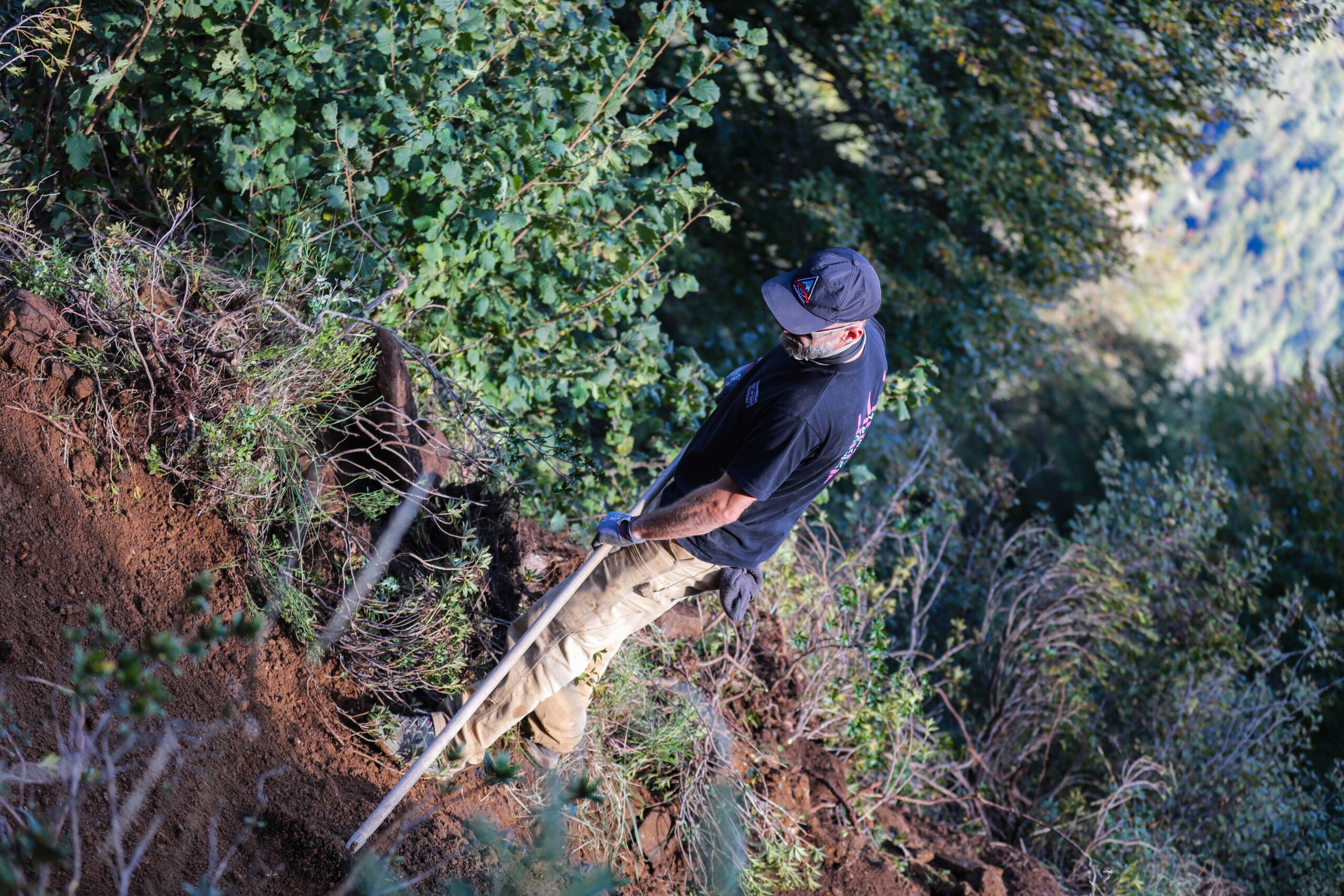
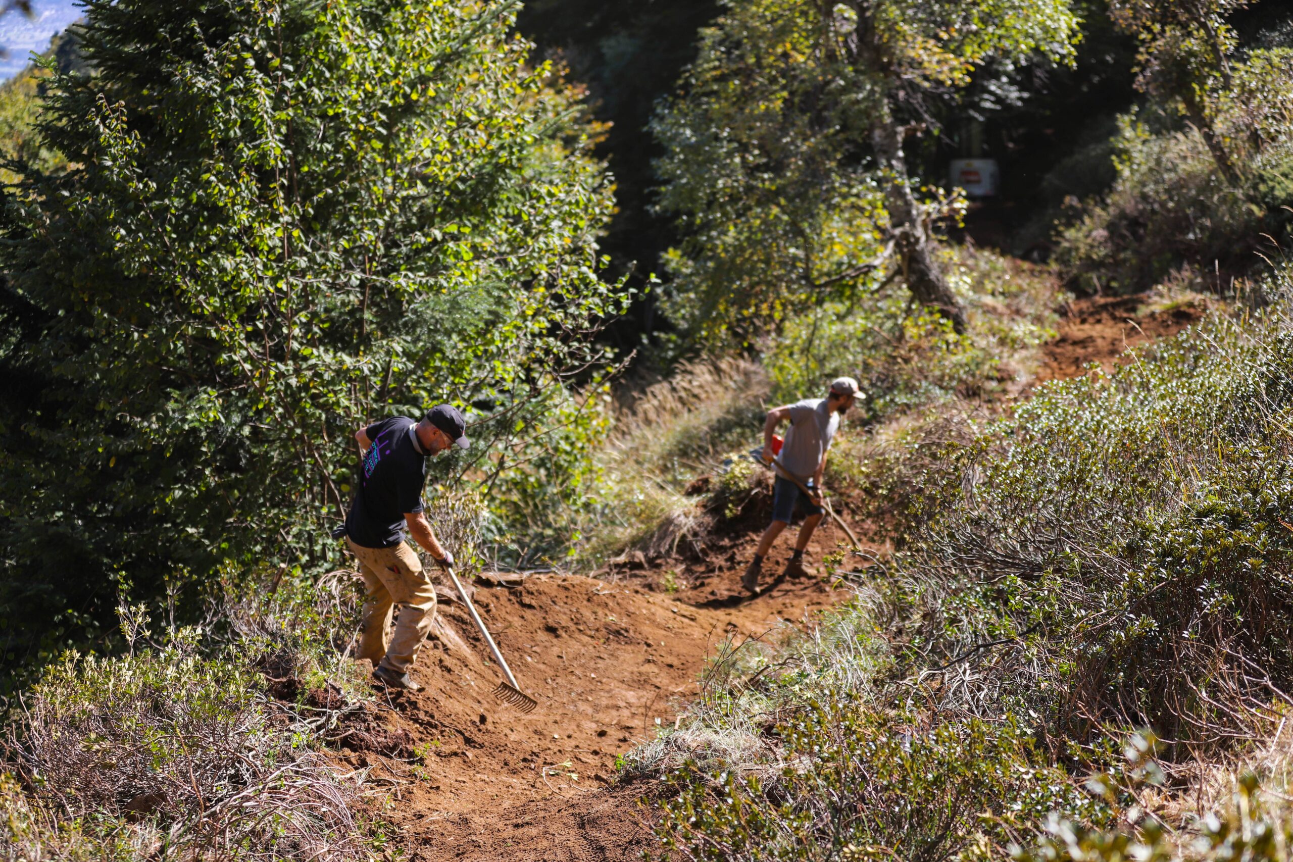
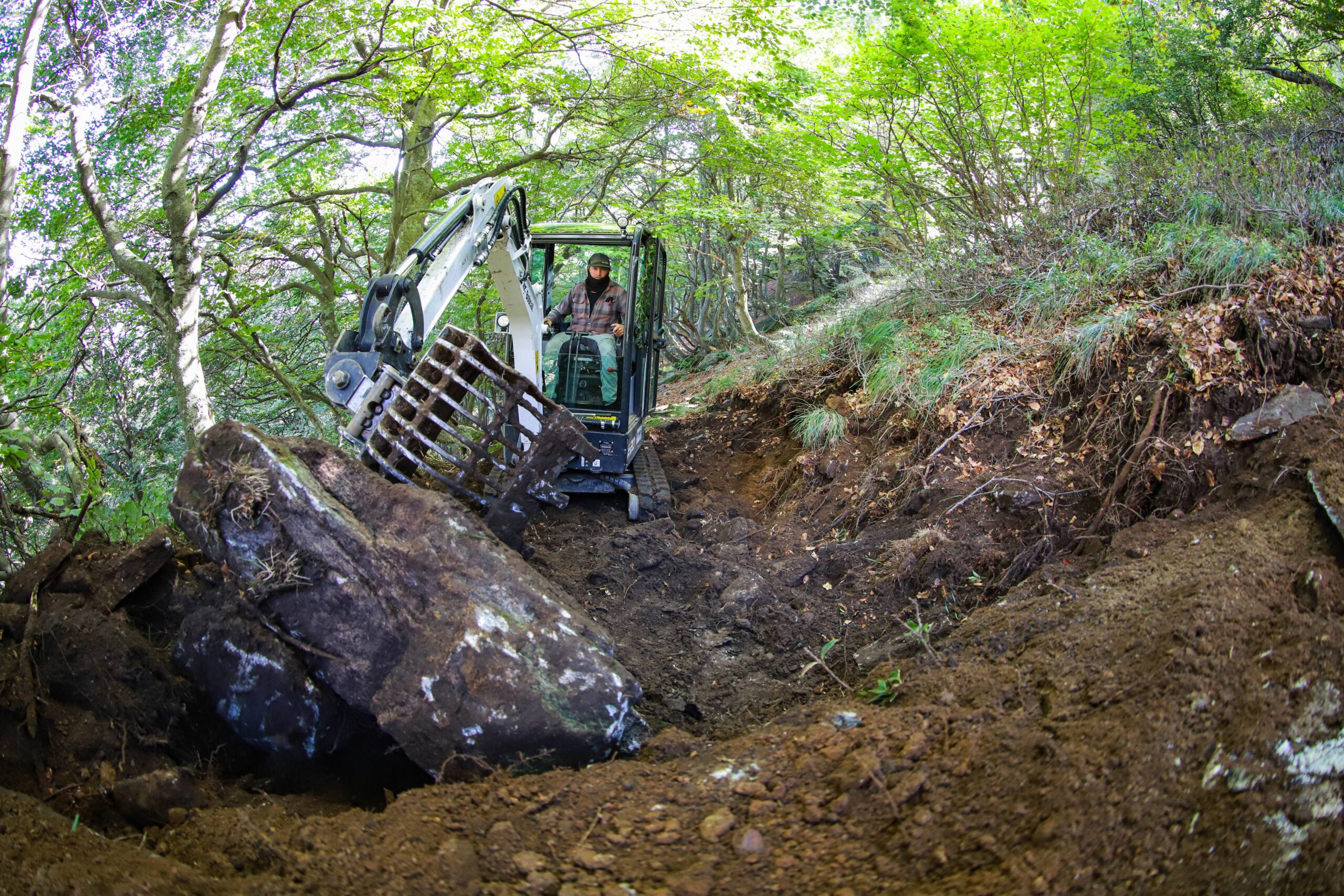
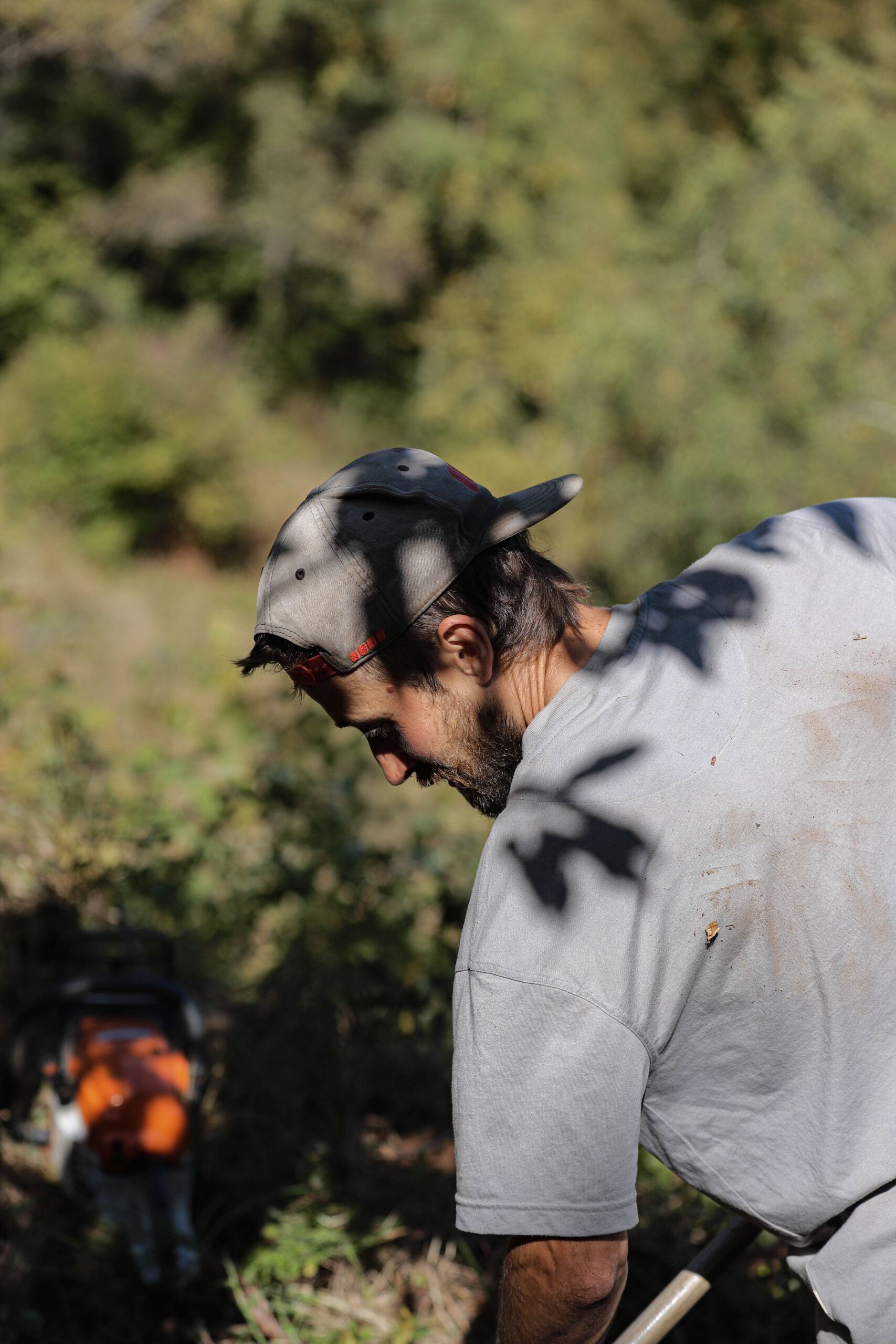
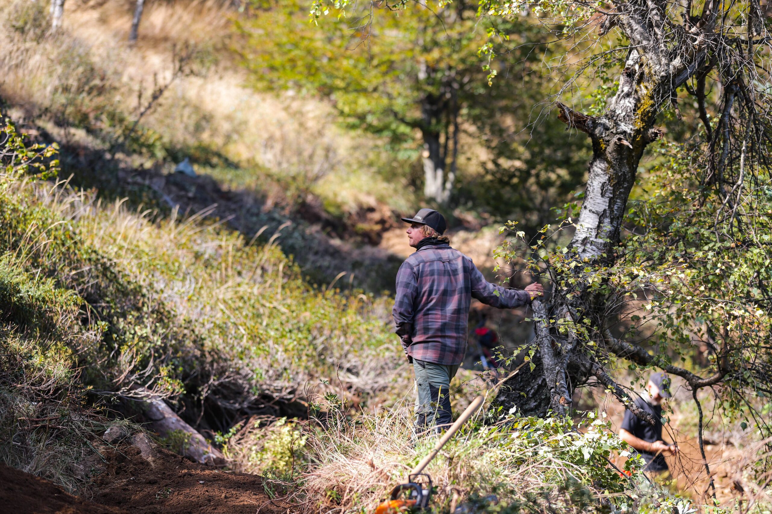
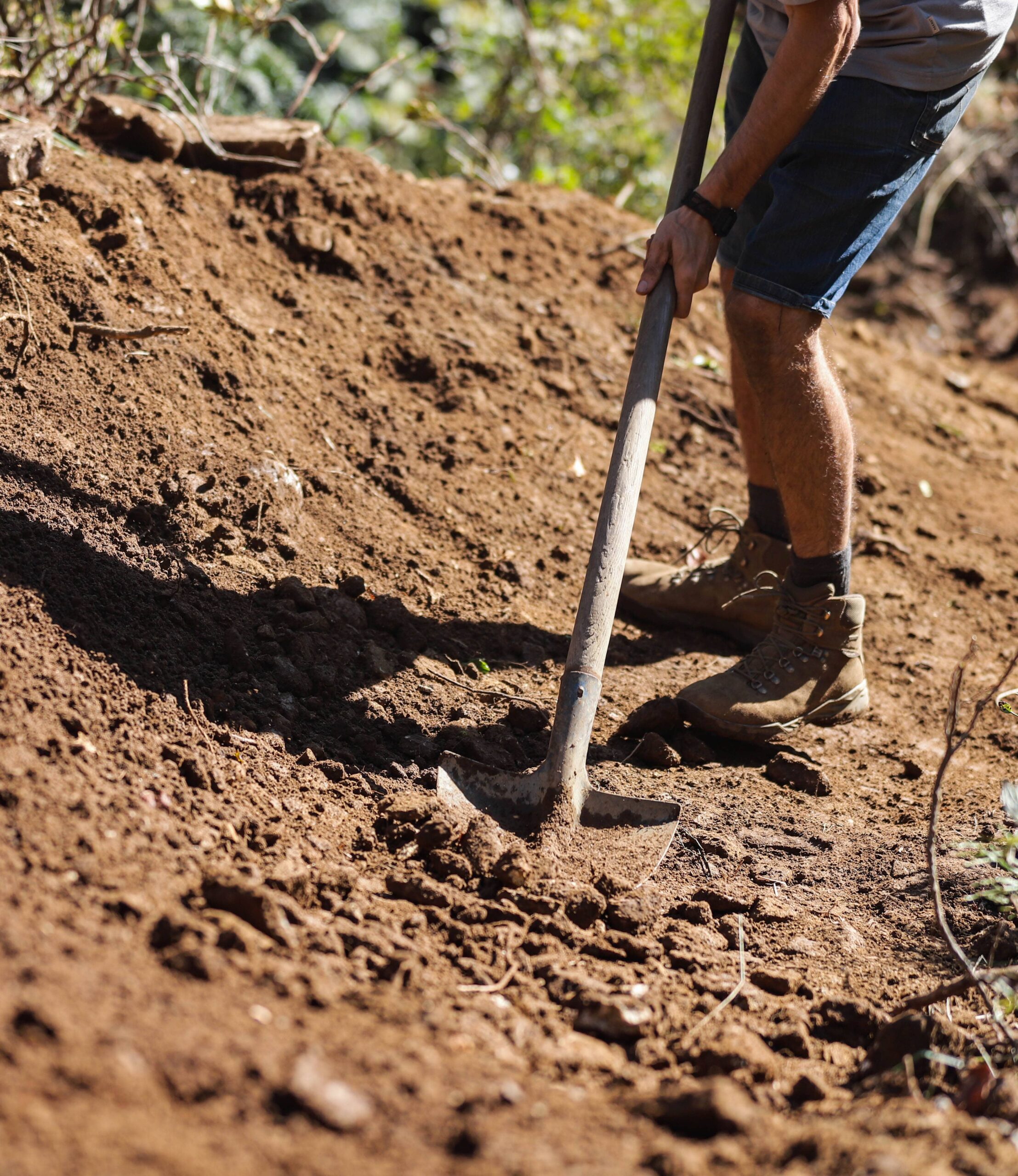
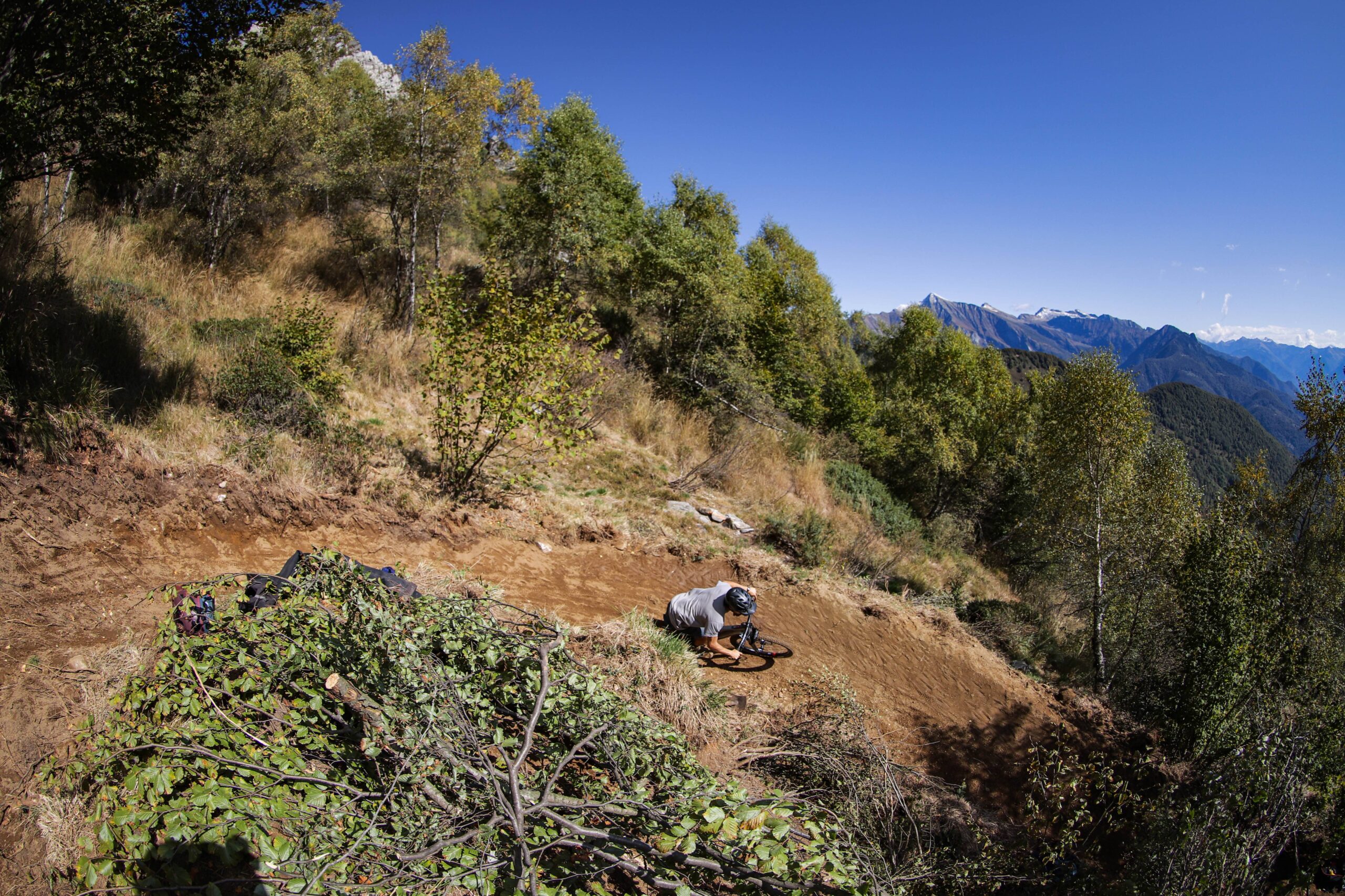
At the start of the approximately five-week construction phase in late summer, the ground was very dry. Rain briefly slowed down the trail work, but subsequently provided optimal compaction conditions, allowing the soil to be worked more effectively. Due to the topography, the trail was built using a two-ton excavator. This construction method allowed the route to be shaped efficiently and precisely without significantly altering the terrain.
The three-person team worked efficiently: Colin handled the rough work with the excavator, while Pablo and Will followed immediately as the manual crew, integrating creative side effects and further detailed adjustments. The mini-excavator left a minimal footprint on the landscape, but the steep terrain required precise handling and complete control. This combination of machine efficiency, meticulous craftsmanship, and the precise execution of curves, gradients, and features gives the trail its characteristic blend of technical challenge, flow, and great variety. Let's take a closer look.

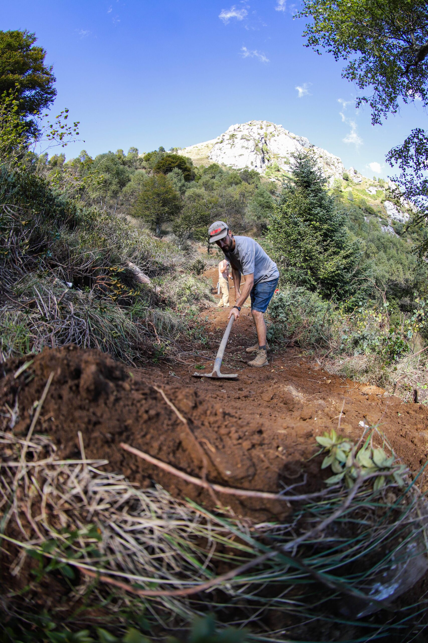
The trail: challenging, playful, picturesque.
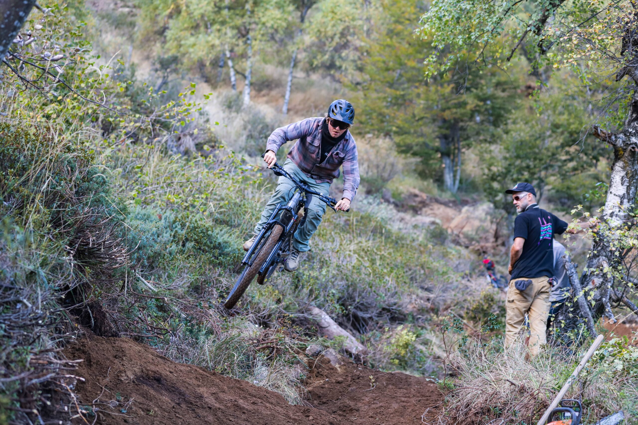
The trail is characterized by its playful riding style. Style elements, such as jumps and side hits, are integrated alongside the main line and can be used for airtime, but are all rollable. Short, more technically challenging options and sections make the trail even more varied.
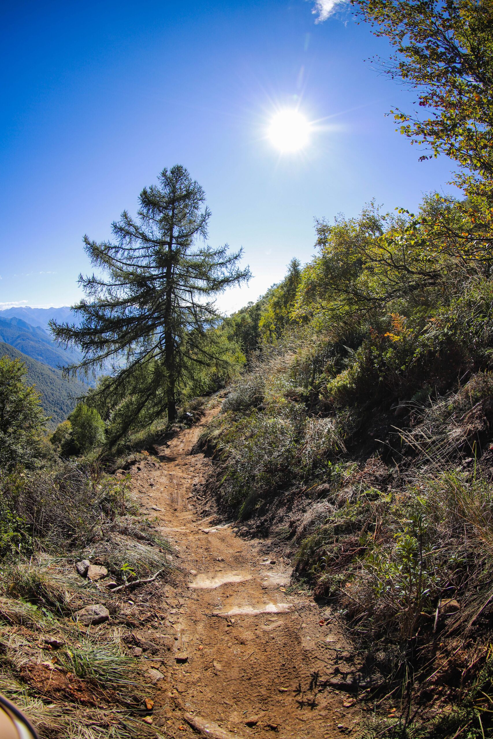
The curves are intentionally minimal to allow for smooth riding without pedaling or repositioning. Each curve is different, requiring various riding techniques and generating different speeds. Slow and tight radius – but steep at the exit to generate speed. Fast and wide radius – but uphill at the exit to control speed. Steep enough to require braking. Longer sections in between ensure a smooth flow of riding.
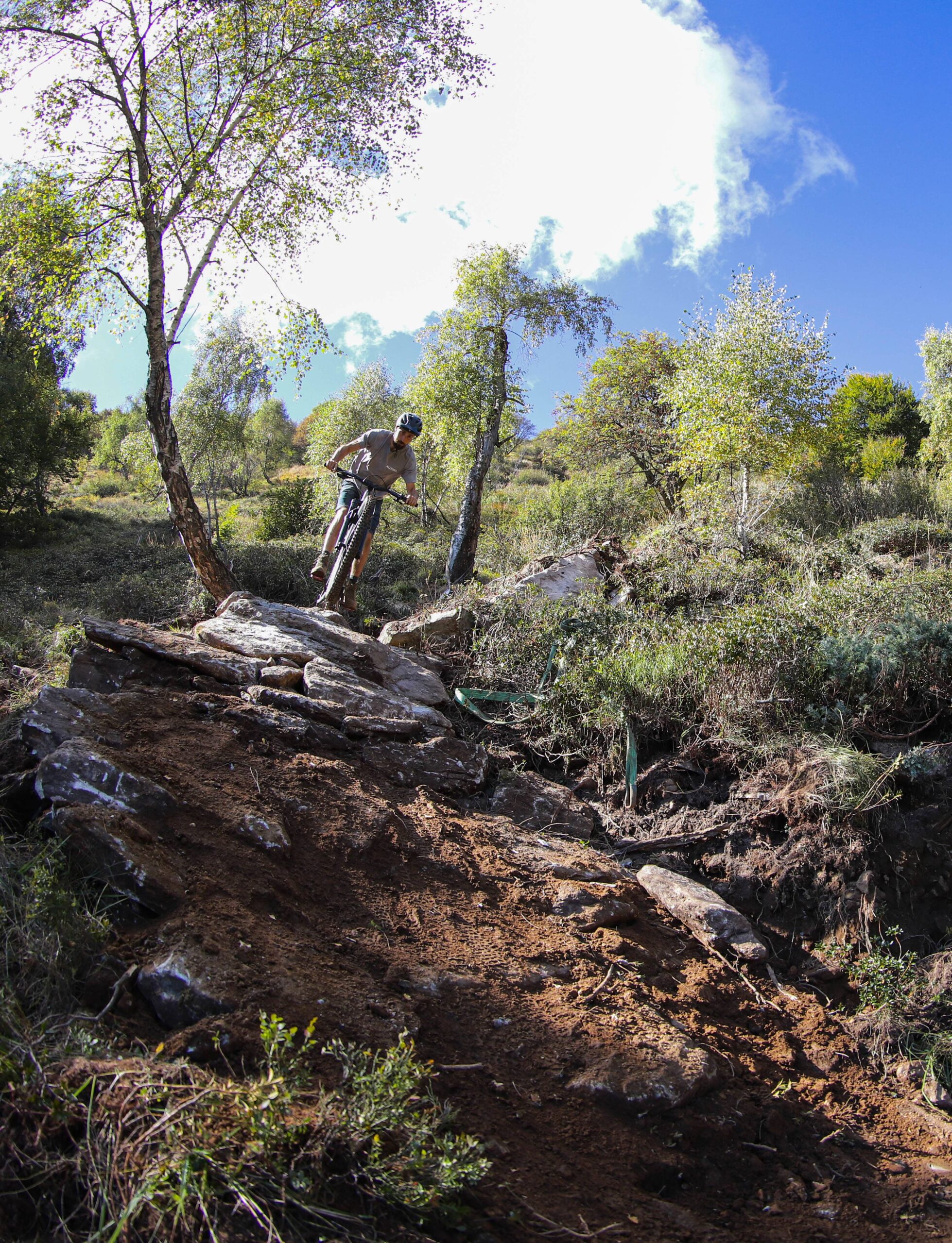
The terrain is intentionally kept natural. Roots and rock reinforcements are part of the riding experience. With an average gradient of 111T/3T, the Rocco sin Freni offers a technically demanding tech trail that gains plenty of flow through its stylish elements.
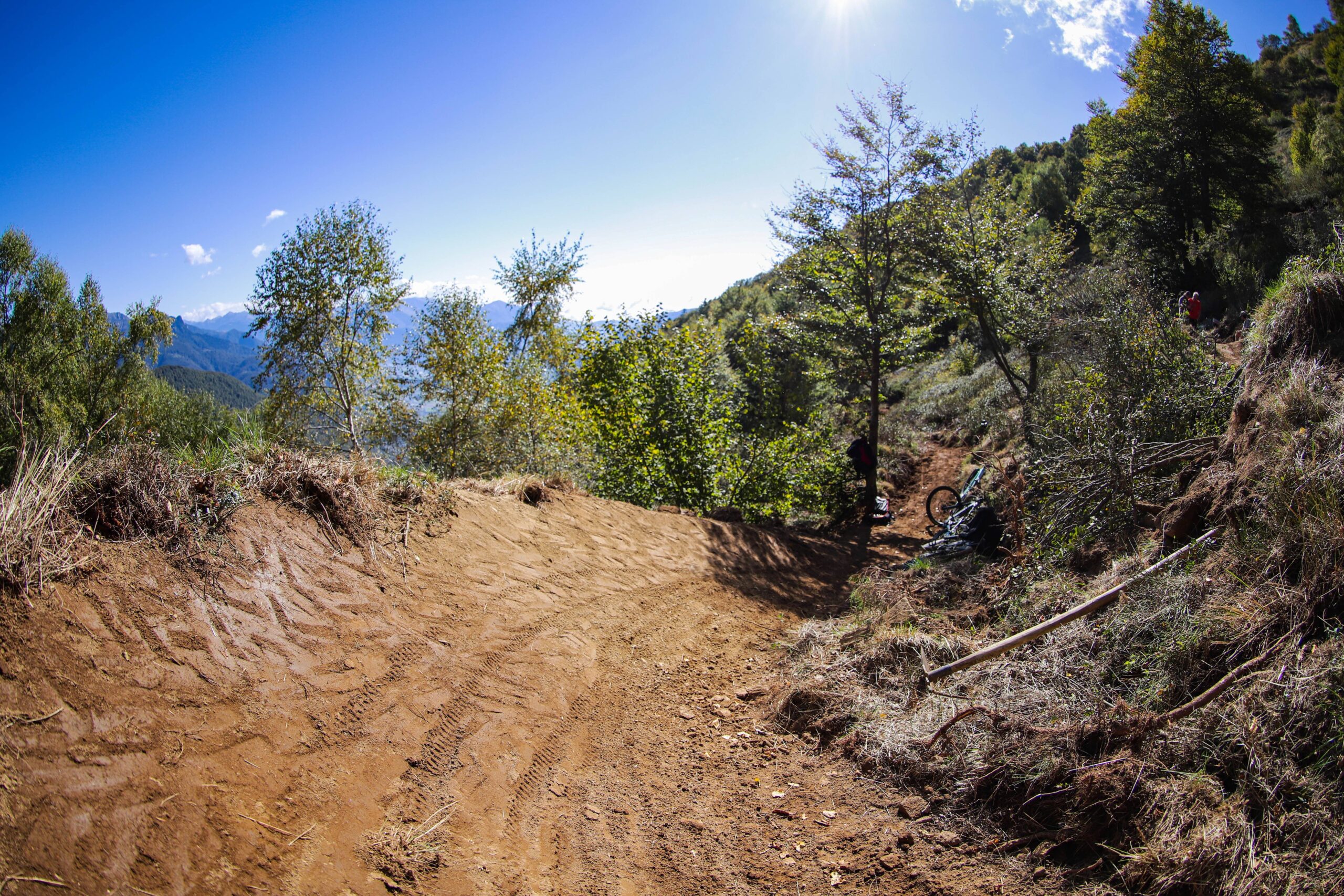
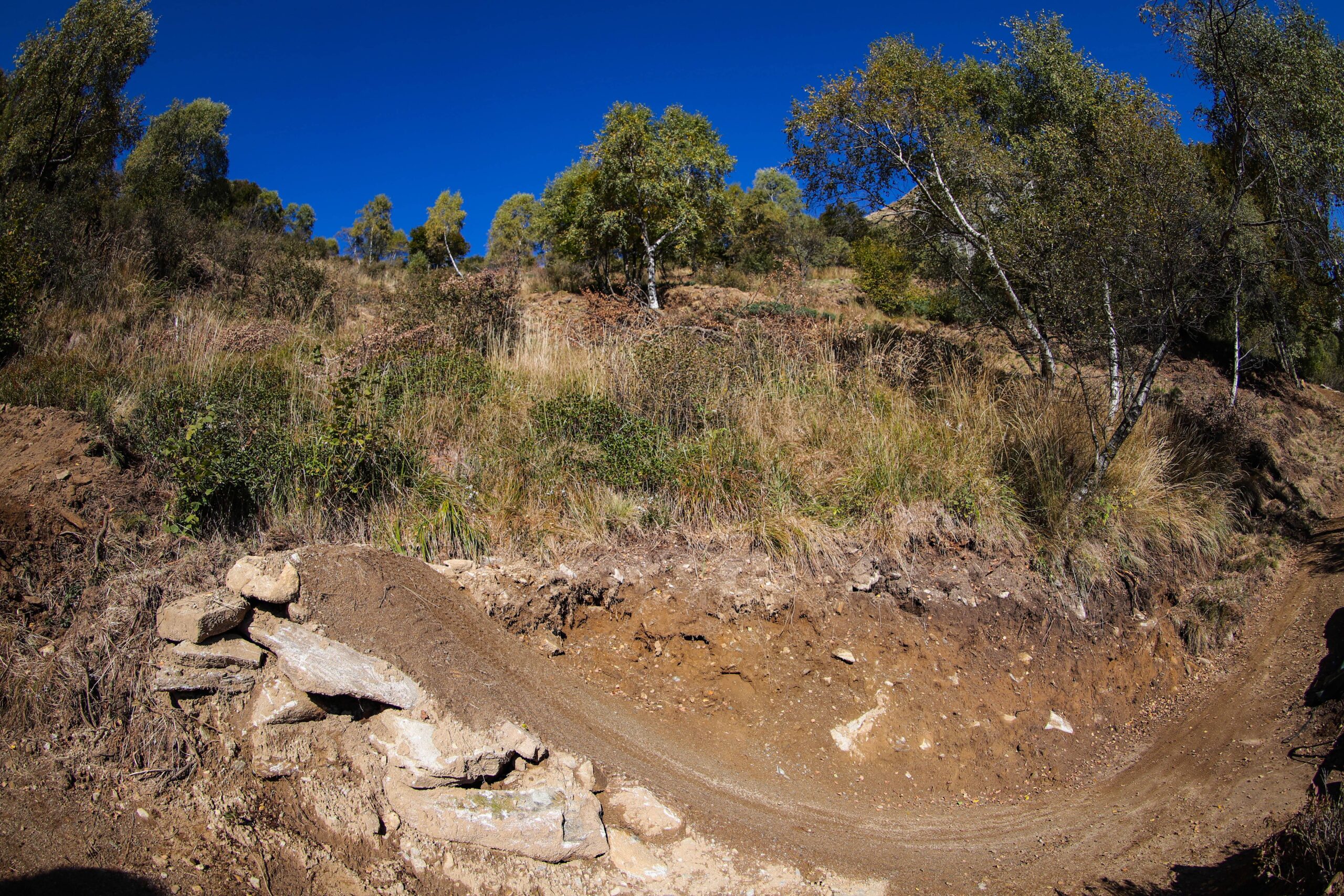
The Bassa di Cardada trail is also picturesquely situated: it winds through varied terrain, partly sunny, partly shady, offering spectacular views of the valley and the surrounding mountains. Distinctive features, such as a solitary birch tree surrounded by either a berm or a more technically challenging rock garden, as well as rock formations, create highlights and give the trail additional character. They are not only photo opportunities but also influence line choice and the overall riding experience.
And DROP-IN:
Our ALLEGRA conclusion
Perfect opportunity: The core message of the Ascona-Locarno region, "La Dolce Vita," can be directly applied to the Bassa di Cardada. It's easy to truly enjoy life here.
Incidentally, we also built the Monti Motti shared trail in Ascona-Locarno. The ALLEGRA Switzerland trail crew transformed a historic hiking path into a unique shared trail for hikers and mountain bikers, combining red (intermediate) riding difficulty with some black (intermediate) elements.