Facts
| Project | Planning, approval, construction management, implementation of the tours and trails with the Trail crew from ALLEGRA Austria and local earthmoving companies |
| customer | Hochkönig Tourismus GmbH – Maria Alm Tourist Board |
| Location | Maria Alm – Hinterthal (Austria) |
| Period | October 2020 – July 2025 |
| project launch | Weekend of July 11, 2025 |
| project Manager |
What can be done when a popular biking area borders sensitive areas of natural retreat – and at the same time two places need to be better connected for tourism? Build Trailsthat consciously controls rather than just opens up – with exactly the right lines.
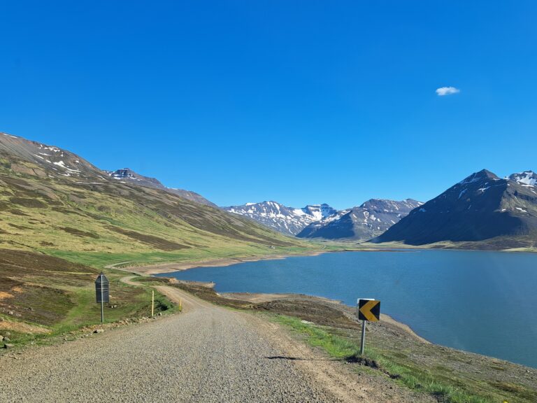
After five years of intensive work, a new mountain bike connection was created between Maria Alm and Hinterthal: 7.3 kilometers long with around 300 meters of elevation gain, which impresses with its natural route through forests and meadows and impressive views of the Steinernes Meer and the Hochkönig.
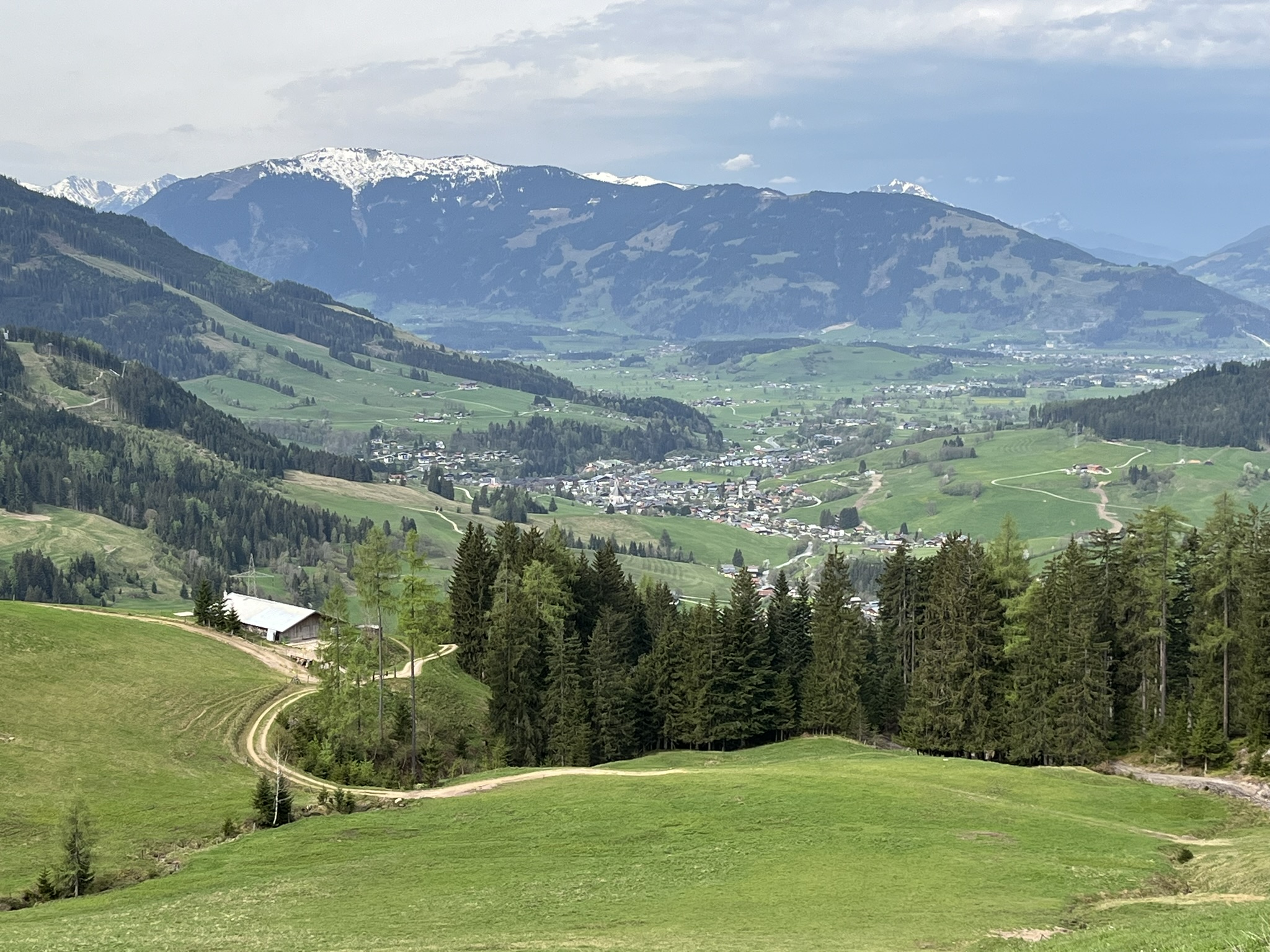
THE PRIMBACH TOUR: RELAXED UPHILL & ENJOYABLE DOWNHILL
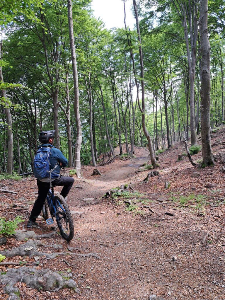
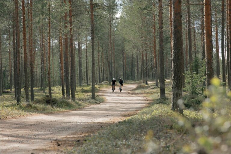
The Primbach Tour connects Maria Alm and Hinterthal over a distance of over 7 kilometers – along existing, open forest roads and newly constructed two-way paths with a width of 1.4 to 1.6 meters. Its goal is to disentangle sensitive landowners' areas. This connection isn't a classic trail, but that's precisely what makes it particularly accessible. The newly developed route offers a wonderful experience for leisure and touring bikers – ideal for relaxed excursions with or without an e-MTB.
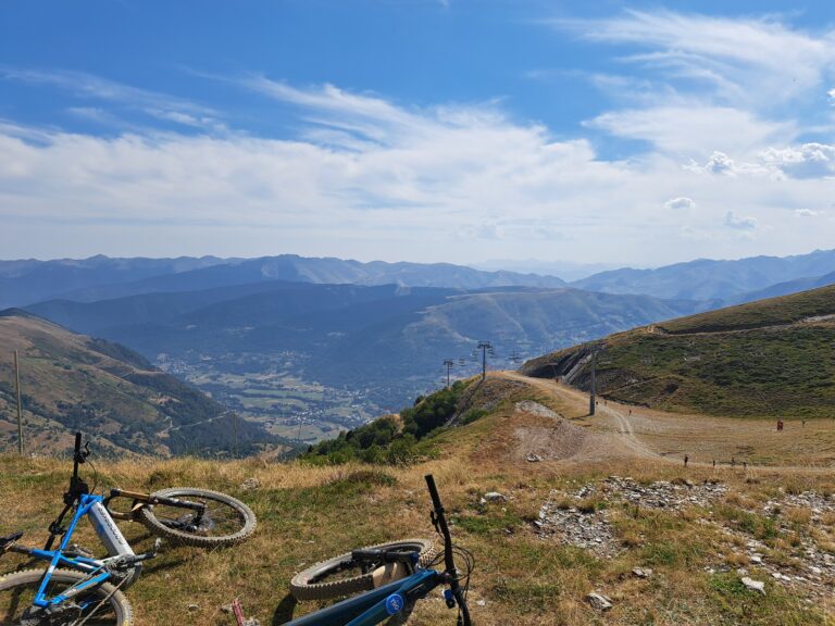
The route runs through sparse forests, across open alpine pastures and along natural clearings, repeatedly interspersed with wide views of the Steinernes Meer, the Hochkönig massif and the two wonderful holiday resorts of Maria Alm and Hinterthal.
A highlight of the tour is the section below the Primbach Alm: Here, the route is somewhat more open, with magnificent views toward Hundstein and over the wonderfully green Pinzgau Grasberge mountains, before heading back through shady mixed forest toward Sattel. Whether as a transfer between towns or as a loop with an optional trail entry – the tour creates connections and makes them tangible.
THE RESULTING TWO-WAY TOUR AT A GLANCE:
Maria Alm → Hinterthal (MA08)
- Distance: 9.97 km
- Elevation difference: 374 m uphill / 663 m downhill
- Travel time: approx. 1:30 h
Hinterthal → Maria Alm (MA09)
- Distance: 10.09 km
- Elevation difference: 293 m uphill / 510 m downhill
- Travel time: approx. 1:20 h
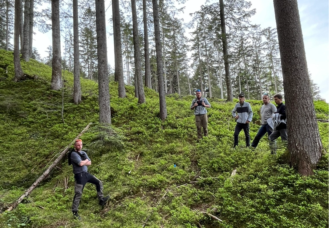
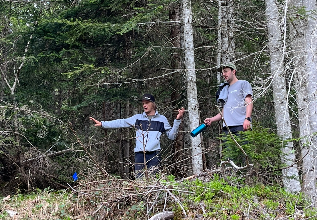
DETANGLING FROM THE ABOVE MASSING SADDLE
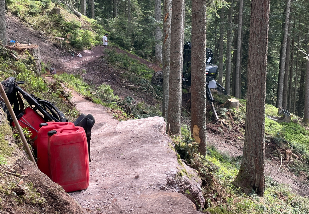
Approximately 200 meters above the Primbach Saddle lies the Massing Saddle. It's one of the last refuges for various wild animals, including grouse. Until its opening, this area was repeatedly accessed by vehicles on forest trails and hiking trails due to a lack of legal alternatives. This caused considerable disruption for those responsible for hunting, especially during the critical off-peak hours for grazing (feeding).
Now the Primbach Tour is intended to be a steering and calming aid. In addition, our ALLEGRA Austria team recommended one or more Trail variants downhill to accommodate trail-oriented mountain bikers with a legal option. Thanks to landowner Alois Rieder, two trails were developed here in some steeper forest areas.
THE TRAUDI TRAIL – PLAYFUL AND TECHNICAL
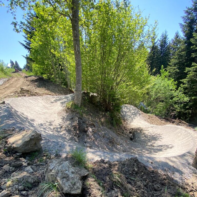
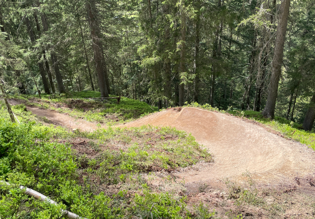
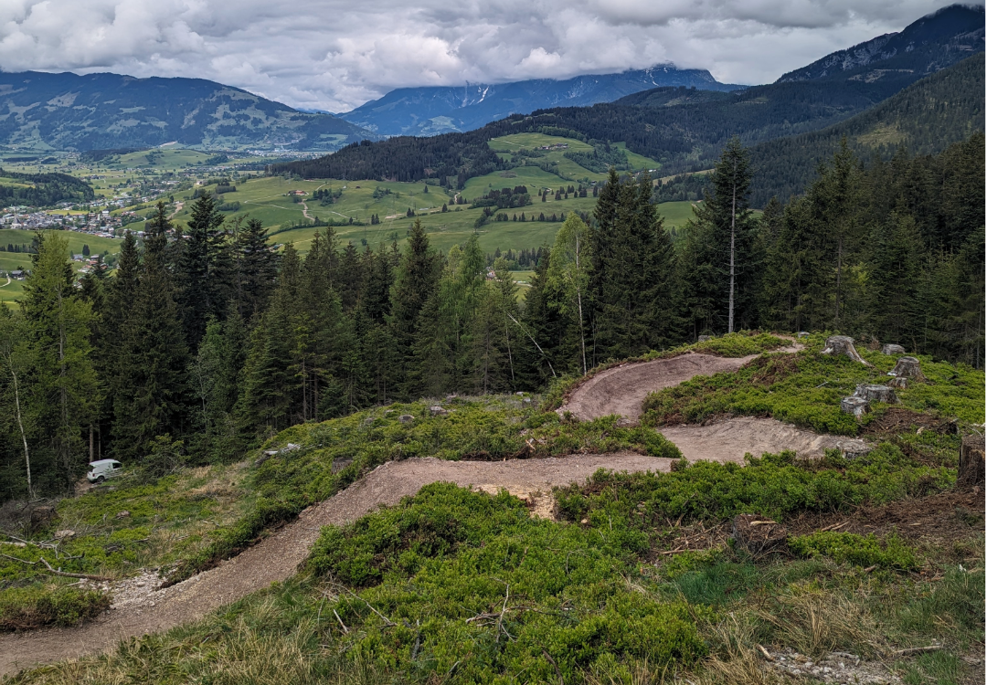
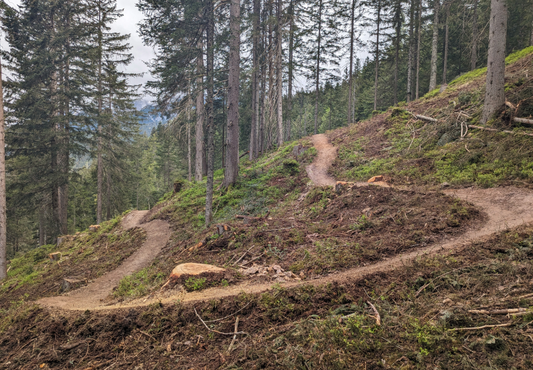
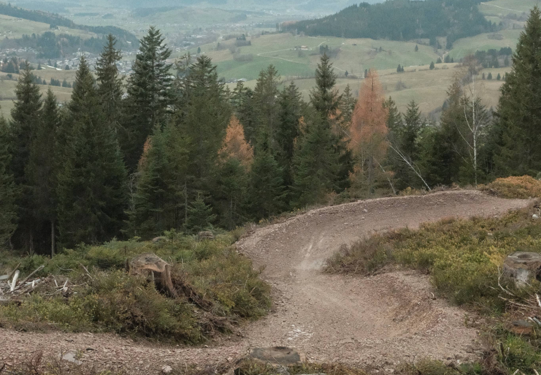
Enthusiastic tour and trail riders will love the Hochkönig region even more. Now you'll love it even more. Those who want to descend from the Primbachsattel back towards Maria Alm will find the Traudi Trail a varied, red-rated singletrack option – technically demanding, but manageable. The trail rewards the uphill climb with a mix of fast corners, short wooden bridges, small optional doubles, shark fins, and some steeper sections.
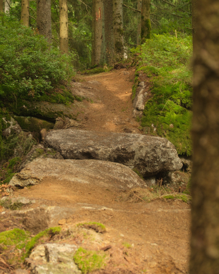
The character: playful, with attitude. It's not about speed, but about line, balance, and timing. The ride is flowing—but challenging. The surface alternates between forest floor, banked corners, and grippy, local gravel mix, with wooden elements placed at certain points that rhythmically structure the course.
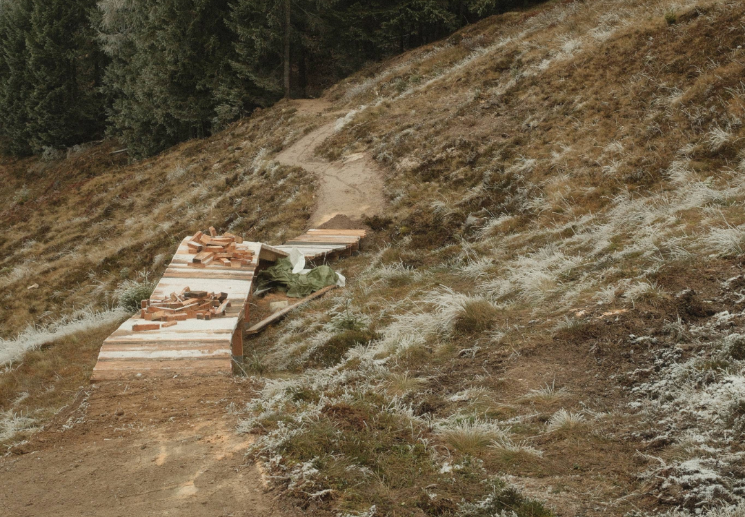
The entry point is located 100 meters past the Primbach saddle. A short section follows the two-way wooden footbridge, which bridges the protected raised bog area. Then, to the right, a small, more challenging Northshore element begins.
This is important because this element serves as an important entry filter. Athletes with insufficient technical skills can be prevented from continuing the race not only by a sign, but also by a difficult starting element.
After the wooden element, the route descends a good 370 meters and covers a distance of 2.7 km in a variety of ways – without artificial exaggeration, but with plenty of riding fun.
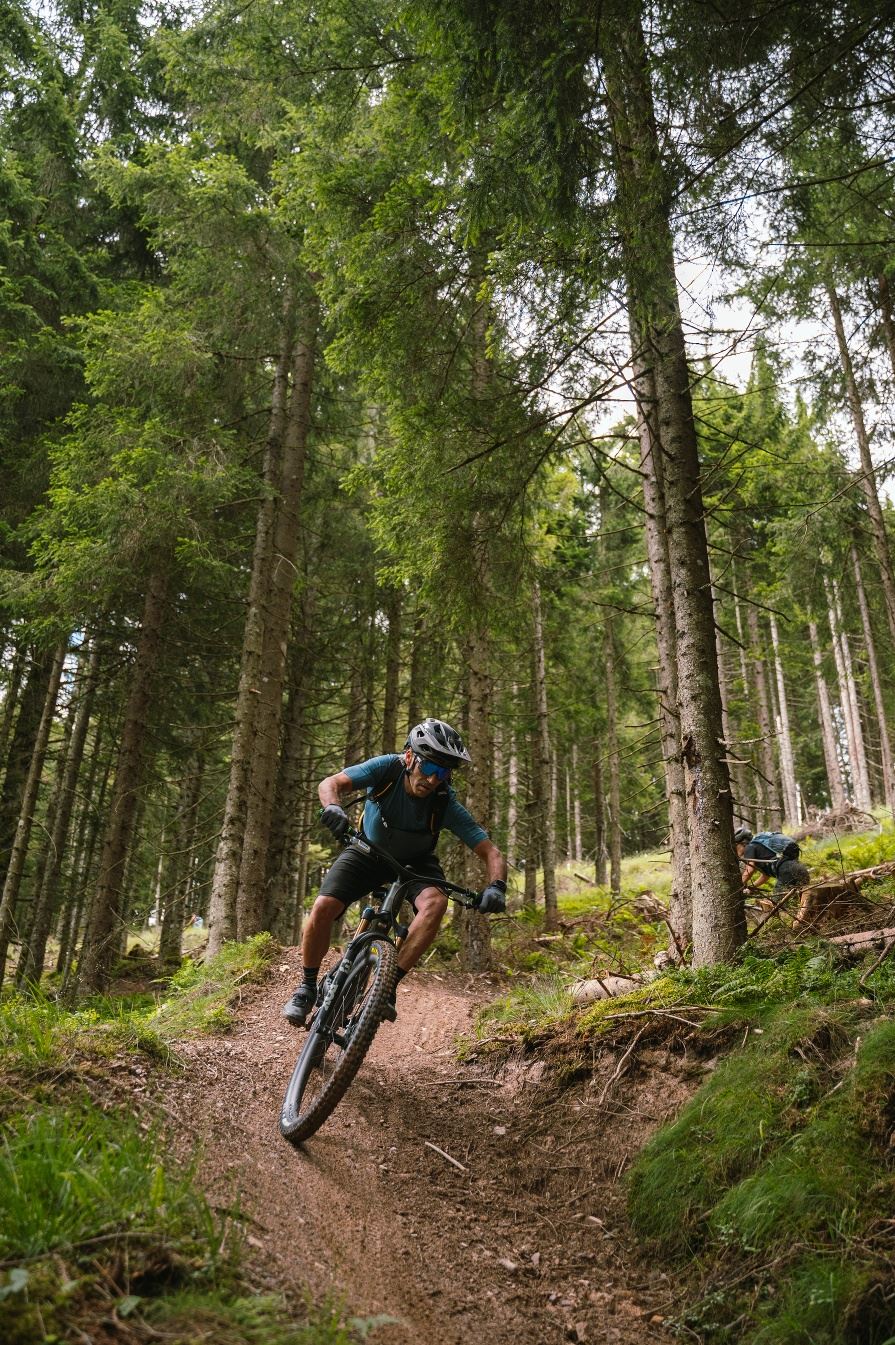
The Wawi Two Way Trail is currently being built in the forest at the level of the Primbach Alm to the north.
THE TWO TRAILS AT A GLANCE:
The Wawi Two Way Trail MA10 (still closed)
- Difficulty: S1 (blue / easy)
- Distance: 2.00 km
- Highest point: 1,226 m
- Depth: 173 m downhill
- Travel time: approx. 0:10 h downhill / approx. 0:20 h uphill
The Traudi Trail MA11:
- Difficulty: S2 (red / medium)
- Distance: 2.7 km
- Highest point: 1,270 m
- Depth: approx. 370 m downhill
- Travel time: approx. 0:10 h
STEERING BY SUPPLY – NOT PROHIBITION
A central goal of the project is the Visitor management through a legal offer instead of a ban.The new trails and tours were planned to offer an attractive, official alternative to conflict-ridden, illegal routes. Especially in the area of Massing saddle, a refuge for wild animals and grouse, the targeted route represents an effective steering element. The deliberate use of high-quality infrastructure enables consideration without having to resort to permanent total closures.
You can find further information about grouse at: ROCKFUL GROOMS | Wildlife Ecology.
OUR WORK: THOUGHTFUL, PLANNED & BUILT TOGETHER
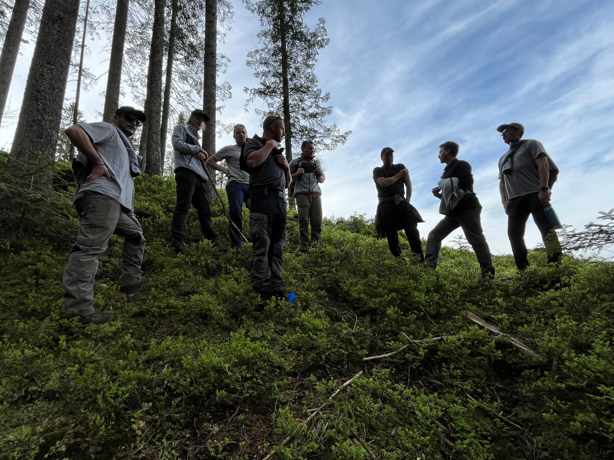
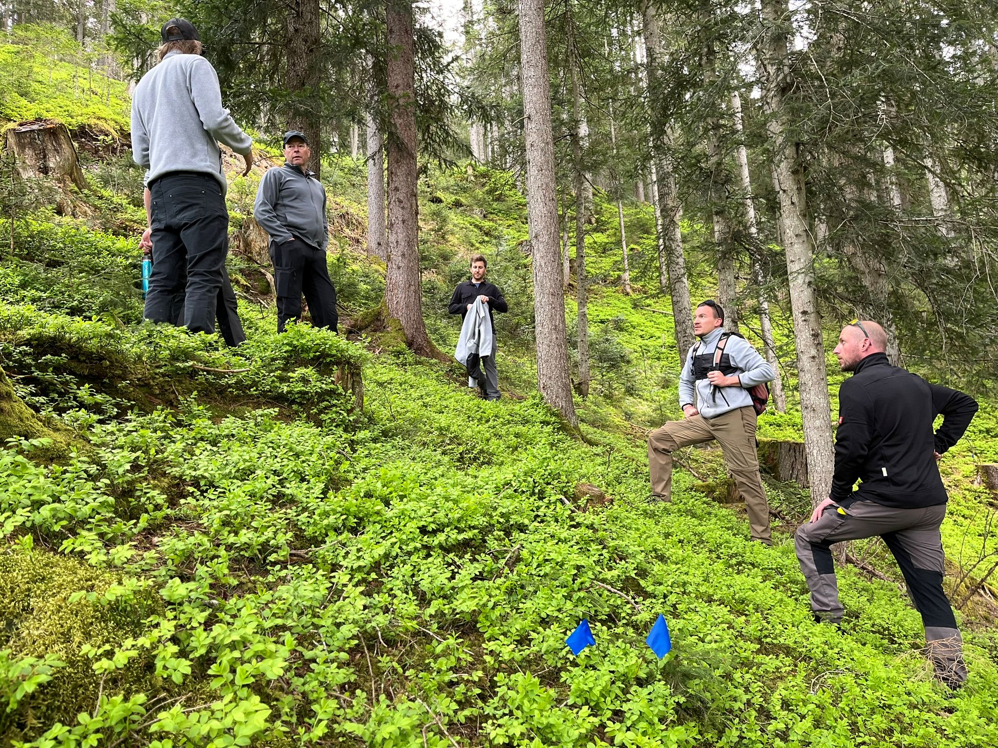
ALLEGRA Austria accompanied the project throughout its entire period. Together with the client and the landowners we developed the initial corridor concept. This was then approved by the local landowners for further planning. Our project team then led the coordination with the landowners, authorities, the State Environmental Office – together with Michael Steinwender from Naturraum Management GmbH – and took over the Detailed planningWe also supported the application process, including the nature conservation and forestry permits, in close cooperation with local partners.
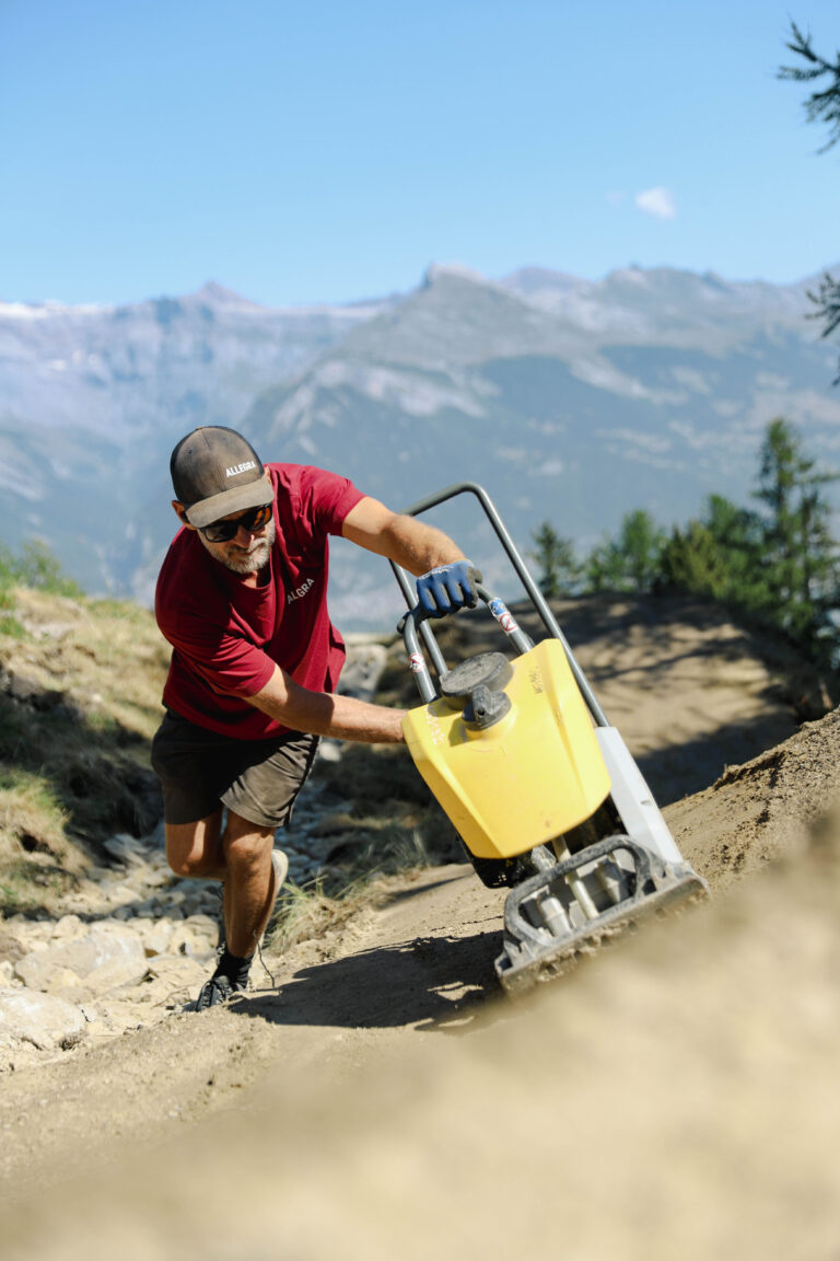
During the implementation, ALLEGRA Austria took over the construction management for the two-way paths, which were constructed by local earthmoving companies. The mechanical and manual Construction of the trails was completed by our experienced construction teams with technical precision and a lot of passion.
OPENING IN JULY – WITH A OUTLOOK
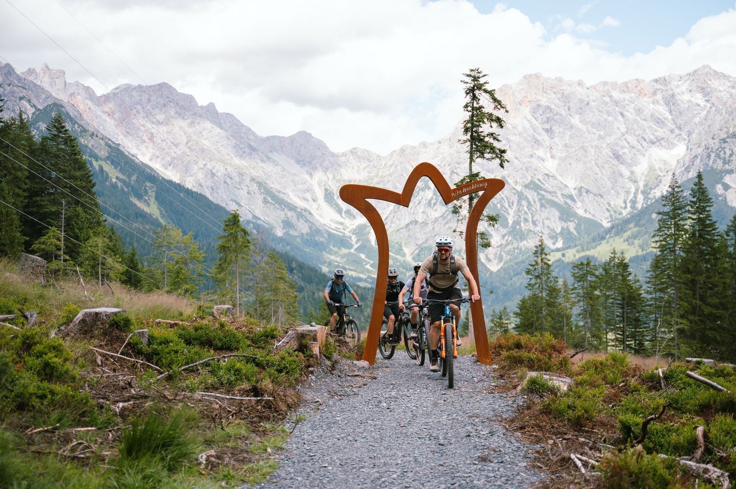
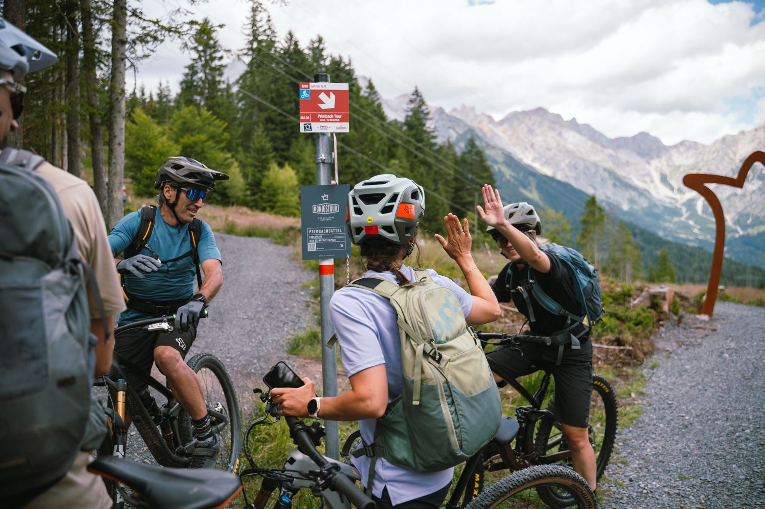
On the weekend of July 11, 2025 The new Primbach Tour, including the Traudi Trail, was officially opened – with strong support from the region and great enthusiasm from the bikers. The connection and the new trail expand the Hochkönig offerings with a natural, well-thought-out experience. And most importantly, bike-enthusiastic locals and guests no longer have to ride the dangerous state road or illegal paths between Maria Alm and Hinterthal.
And it continues: We are currently working on additional trails and connections to further strengthen the biking offering.
Chris's Tip: The Königstour is now even more beautiful. This fantastic multi-day experience with luggage transfer, which takes you through the entire region, is especially recommended: