Why we should adjust our “flying altitude”.

Could this be a way to reduce the pressure on natural areas and make cities even greener?

Written BY

The altitude is usually very low when it comes to the selection and (re)designation of existing trails for the new mountain bike trail network. There is a fight for every meter of trail.

Because in many cantons the area is so sprawling or economically tightly organized, interest groups fight over the trail crumbs that are left in what we call "nature." The pressure is increasing. But these islands are not the only space available to us. I think this is where the flight altitude comes into play. We need to adjust it and set it higher. Because then we will see what is there en masse: built-up areas. Roads. So what would happen if we converted roads into trails? Could this be a way to reduce the pressure on natural areas and make cities even greener?

Since the Enlightenment at the latest, we have been used to thinking in a reductionist way. On the one hand, the need for workers and goods to move quickly (road network), and on the other hand, fun as a pastime (playgrounds, soccer fields, trail centers, pump tracks, etc.). Our physical space is strictly divided according to its respective functions - the dichotomy of "everyday and leisure path network" in the new bicycle path law underlines these supposed opposites once again. But what if we no longer saw our commute to work and school or for running errands as a necessary evil, but as playful exercise time in the fresh air? If it were not about distinguishing between "mountain bikers vs. hikers," but resolved the issue in the question: How can we best get our citizens moving?

In reference to the "Cool Roofs" that climate researchers at Arizona State University are researching, I imagine green where there was previously grey. Trees and bushes now stand across the width of what used to be a road. Endlessly flowing trails, northshores and rock gardens wind through them with little gradient, like in Czech trail centers. Where cargo bikes or rickshaws are used, the trails are wider and gentler. We would thus solve many of the challenges of our time - 80% of all children and young people do not exercise enough according to the WHO - people are becoming isolated - concrete and asphalt are becoming heat islands - the last mile - with one stone.

I firmly believe in this utopia. The etymology of the term can refer to a fictitious, unrealizable place or – as a play on words – to a happy place. Which term ultimately comes into play is decided by the altitude from which we view future challenges.
MORE OF ALLEGRA

Strategy development Dolomiti Bike Galaxy

With a single ticket to over 100 lifts with bike transport: The Dolomiti Bike Galaxy is one of the largest mountain bike network systems.

Reshape Style Trail Allières in La Berra

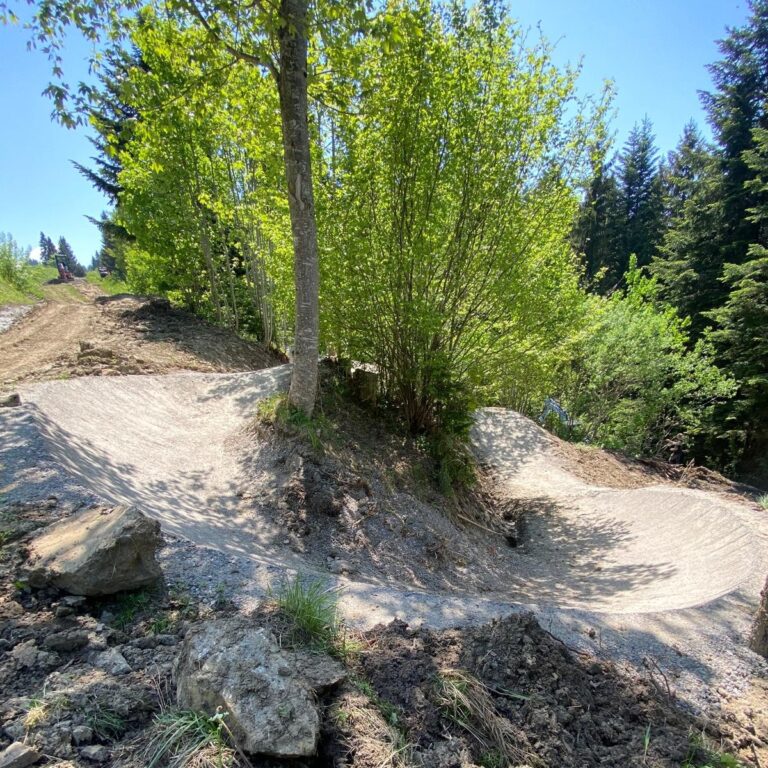
From blue to red: The new red style trail after the reshape. A trail that respects the character of the area. A trail that allows water to run off. A trail that will last and be incredibly fun for many years to come.

Mountain bike product development in Lugano

A destination where outdoor activities and leisure are perfectly combined.

Mountain bike strategy Saint Lary

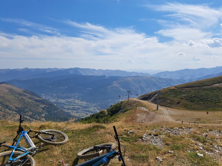
Like many other mountain destinations, Saint-Lary is currently exploring ways to diversify its offerings and compensate for what is lacking in the winter season with summer activities.

Potential analysis and concept development Gravel Northwest Iceland

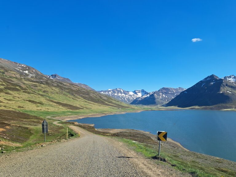
Our mission in northwestern Iceland was to analyze and determine whether—and in which configuration—mountain biking and/or cycling could be used as a tool for the economic development of the region.

Product development Gravel Ruka-Kuusamo

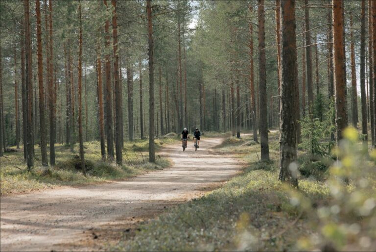
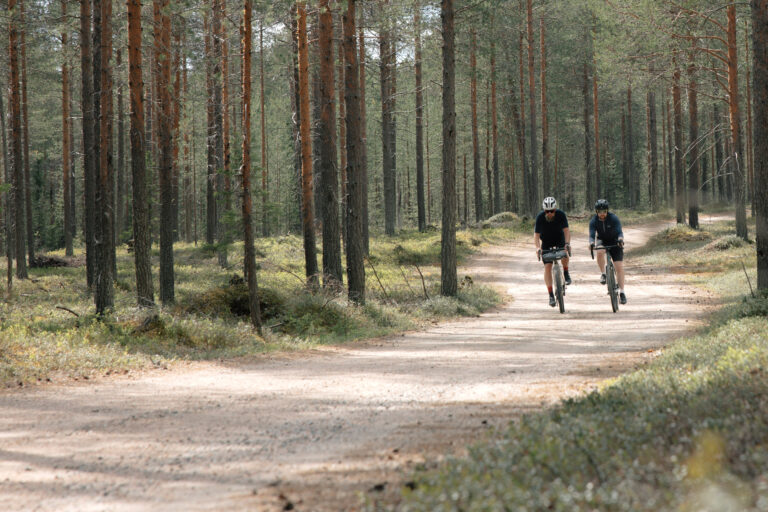
After developing a gravel network with over 900 kilometers of routes, the next question arose: How do we market this offering? How can we differentiate ourselves from our competitors? And how can we attract potential guests to a region near the Arctic Circle?

Three steps to a successful gravel destination

We support destinations on their process to become a successful gravel destination: from analyzing potential to developing a concept and creating products.

Potential analysis Gravel Graubünden Bike

Gravel biking is booming. But why? To find answers, we conducted a comprehensive potential analysis as part of the graubündenBIKE project.

Construction of the Kirchberg Trail for the 360° Flow Trails Kitzbühel Kirchberg

Tyrol's longest flow trail is located in Kirchberg, with a total length of approximately ten kilometers.

Darco Cazin in an interview: On Graubünden Bike and its impact

Darco Cazin has been involved with Graubünden Bike since its inception. In this interview, he talks about the lived experience of coexistence on Graubünden's trails, the power of participation – and the impact the project has had that isn't visible from the outside.

Do you actually know

...what's really going on on your trails, hiking or cycling paths?

We use state-of-the-art technology to take (hybrid) frequency monitoring in alpine and urban areas to the next level!